Lamont in the Media
June 17, 2026
A Snapshot of Continental Crust in the Making
Earth & Climate Science News
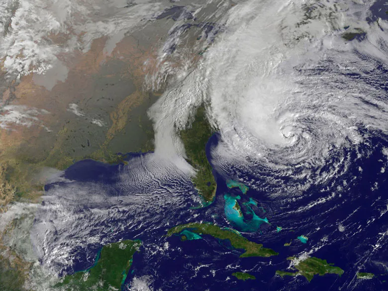
Sandy instantly brought a new kind of national media attention to the influence of global warming on weather disasters. After several years of near-silence on climate from our political leaders and the mainstream media, the renewed attention is profoundly welcome.
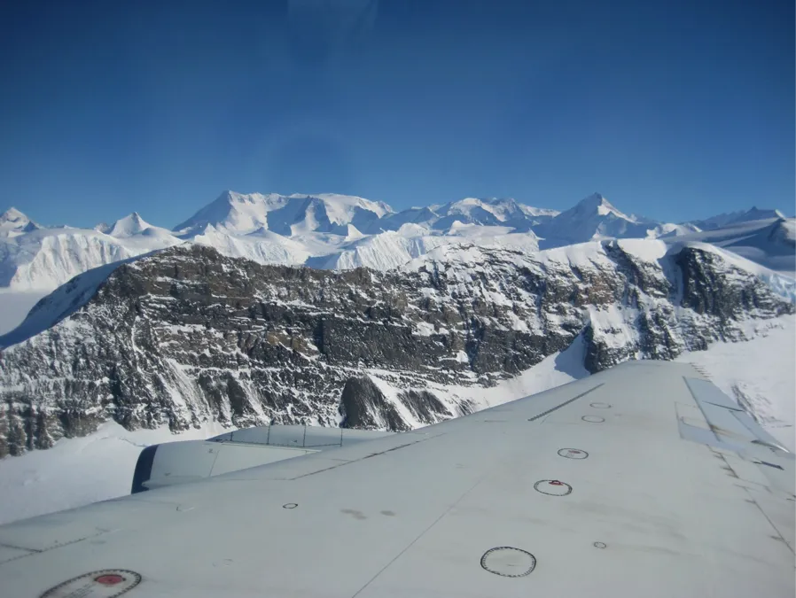
1500 feet above the ground surface is where our suite of instruments normally operates, but for this flight we are taking them up higher, much higher, in fact over 20 times our normal range to 33,000 feet. Our flight plan is to repeat lines surveyed in a previous years by NASA’s Land, Vegetation Ice Sensor… read more
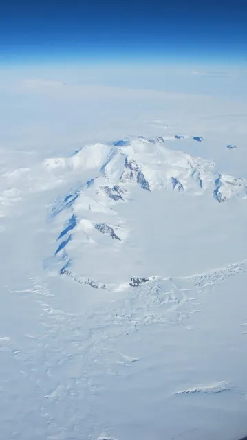
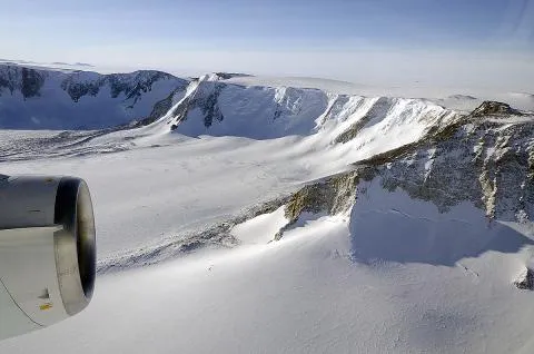
Named after Edith Ronne, the first American woman to set foot on this southern continent, the Ronne Ice Shelf is tucked just to the East of the Antarctic Peninsula on the backside of the Transantarctic Mountains. With an area measured at 422,000 square kms, this is the second largest ice shelf in Antarctica. This vast… read more
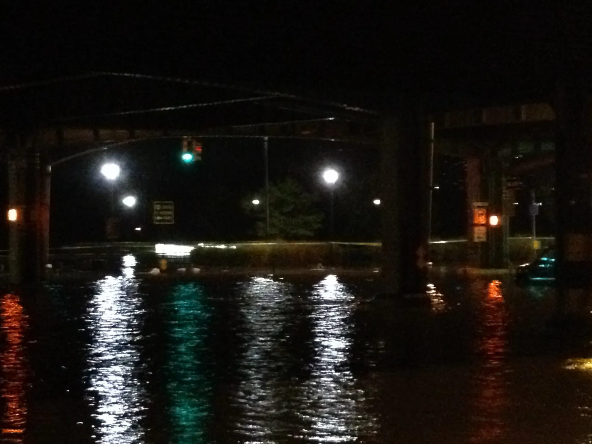
For years before Hurricane Sandy charged ashore on Monday, researchers from the Earth Institute knew what was coming. As the region struggles to recover from this “superstorm,” we asked some of them to consider the lessons we can learn as we move forward.
For much of the last decade, Klaus Jacob warned of New York’s vulnerability to severe flooding in a major storm. Four days after the storm that crippled New York and New Jersey and swamped his own home along the Hudson River, Jacob reflected on Sandy's lessons and what comes next.
One piece of our IceBridge mission focuses on sea ice here in the south. Sea ice in the northern regions has been reducing at dramatic rates over the last decade, setting a new record just this year, but the story in the south is not so clear. In fact, there has been a buzz that… read more
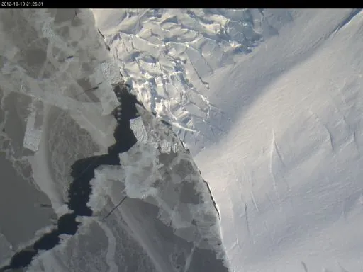
Recovery Glacier is a section of Antarctic ice that lies east of the peninsular arm of West Antarctica, tucked behind the Transantarctic Mountains, a dividing line that separates west from east. We know from satellite data that Recovery and its tributaries have a deep reach, stretching well inland. But there is a lot we don’t know about Recovery because the remoteness of the area has limited the number of surveys.
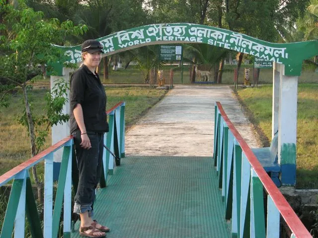
For our final installation, we had to go from the edge of the Bay of Bengal almost to Bangladesh’s northern border with India, a trip of over 350 miles. Along the way we stopped at Humayun’s childhood home, had several flats and picked up a student of Humayun’s from the town where we installed it. After getting the GPS set up at the site he selected, we concluded with a feast at his home, driving by signs of the upcoming Hindu and Muslim festivals, and our own final celebration.
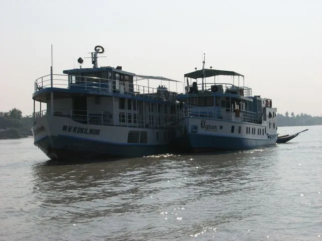
We traveled by boat to the south part of the Sundarbans near the Indian Ocean to install a GPS at Hiron Point, this isolated facility also hosts a tide gauge recording long-term water level changes due to rising sea level and land subsidence. Our GPS will help distinguish how much of each there is in the midst of the world’s largest mangrove forest.
Leaving Dhaka, we spend an entire day getting to Khepupara in southern Bangladesh. Then we spent a long morning installing a GPS to monitor subsidence of the delta before heading back on the road again.
Polder 32 is one of the many inland islands in Bangladesh that was enclosed by an embankment to protect it from flooding. When that embankment failed during Cyclone Aila in 2009, the island was flooded for almost 2 years. Subsidence of the ground inside the embankment with no sedimentation to compensate made it worse. We are installing a GPS at a school there to monitor the subsidence.
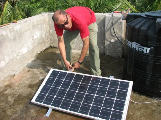
I’ve just arrived back in Bangladesh with an engineer to install 6 new GPS stations to add to our studies of earthquake hazards and land subsidence. Our first stop was Comilla University, the westernmost exposed fold of the collision between the Ganges-Bramaputra Delta and the Sumatra-Andaman-Burma plat boundary.