
Lamont in the Media
Earth & Climate Science News
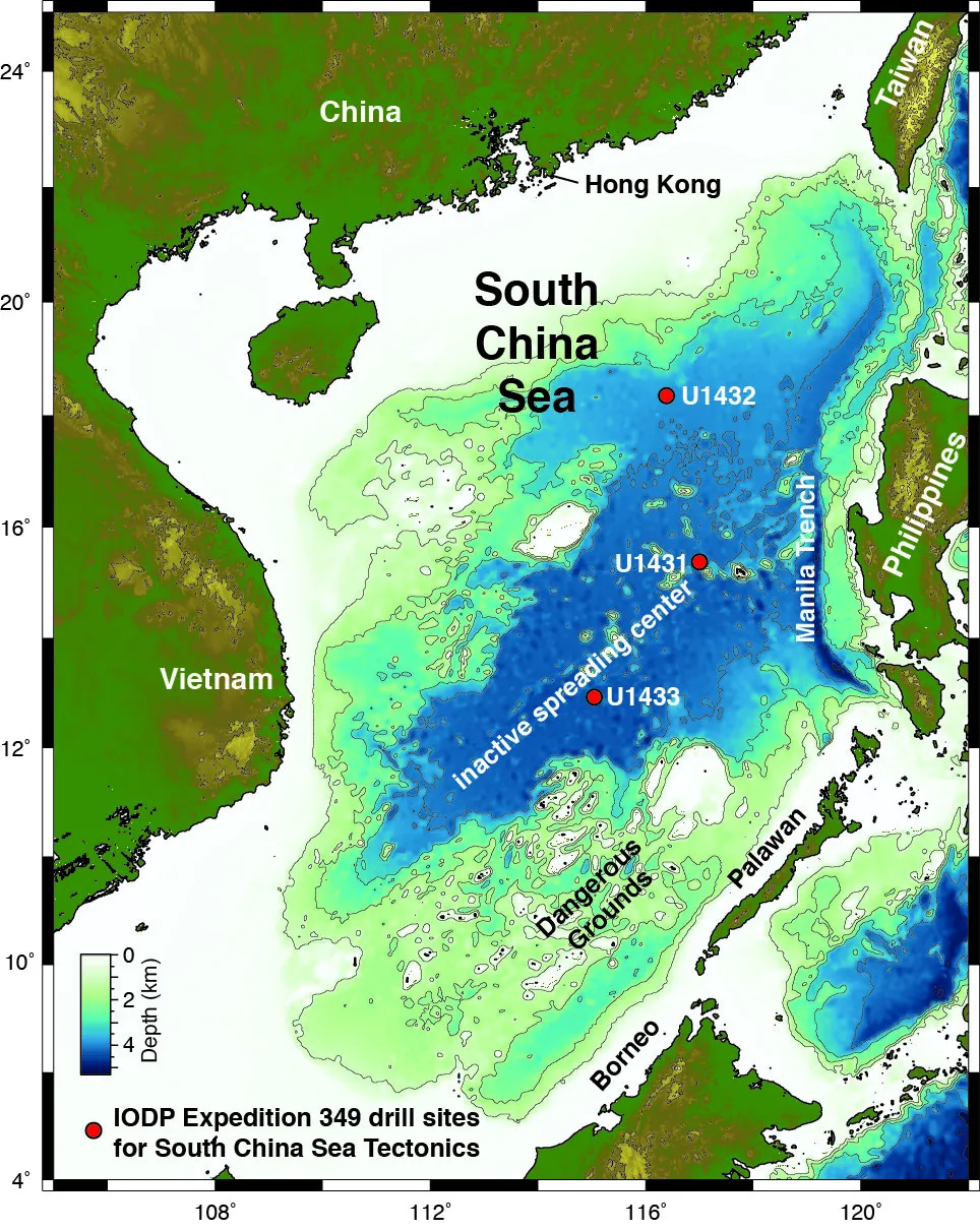
The J.R. has set sail from Hong Kong. Trevor Williams explains what his research team hopes to accomplish.
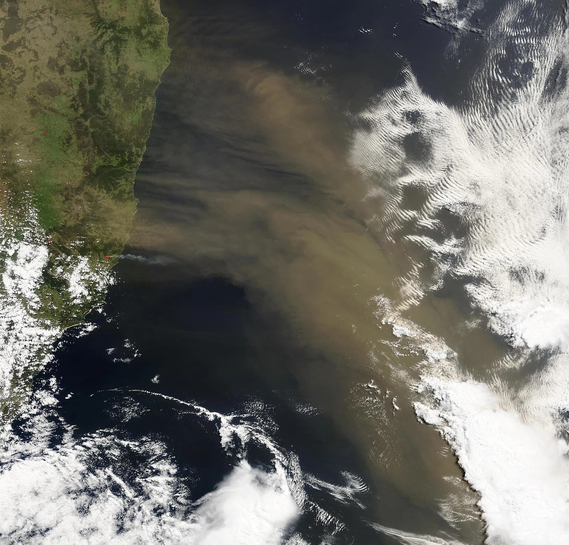
Dust blowing onto the oceans can help algae grow and pull CO2 out of the atmosphere. It influences the radiative balance of the planet by reflecting sunlight away. Scientists want to know what role this plays in the coming and going of the ice ages, and how it affects our climate.
A poem, first in a series based on what’s been in the news in science, from Katherine Allen, a researcher in geochemistry and paleoclimate at the Lamont-Doherty Earth Observatory.
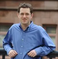
Superstorm Sandy expert Adam Sobel is getting ready to launch a new initiative on extreme weather, thanks to a €250,000 two-year AXA Award in Climate and Extreme Weather he has just received from the AXA Research Fund.
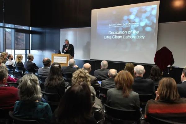
In late 2013, the dream of creating a uniquely powerful facility for the Lamont-Doherty Geochemistry Division became a reality upon completion of the Comer Building’s Ultra Clean Laboratory. On the afternoon of November 20th, this new laboratory was dedicated in front of an audience of Observatory Advisory Board members, donors, scientists and other members of the extended Lamont-Doherty and Columbia University communities.
Does blending a group of respected business professionals, academics, spiritual leaders, media, policy specialists and artists in a custom eco-tourism experience provide a pathway to developing a passionate and committed group of individuals?
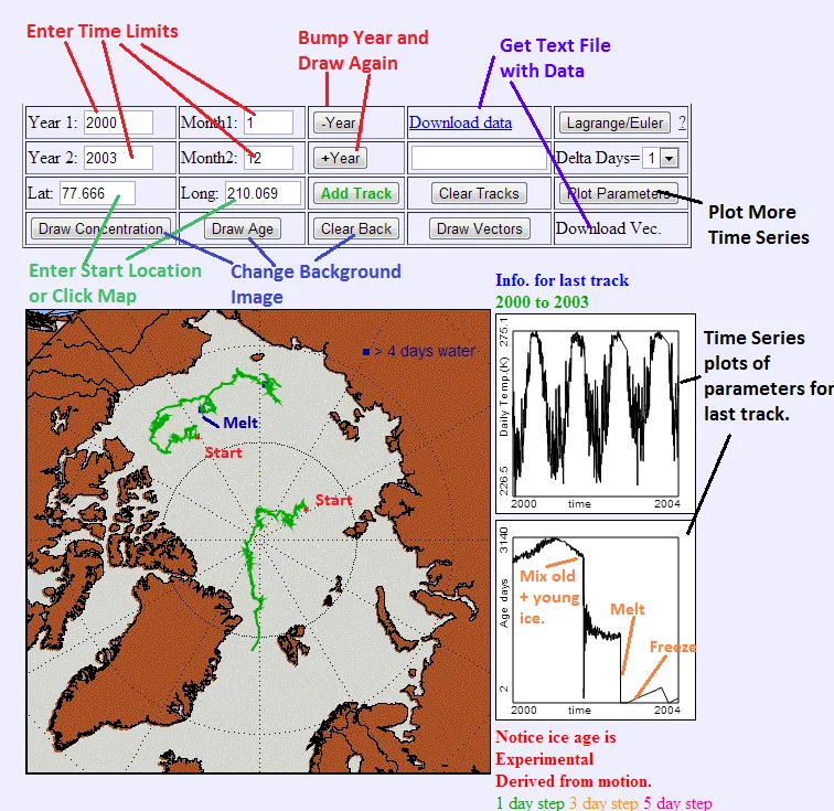
This week, we are launching a test of “IceTracker”—a tool that allows users to see the trajectories of Arctic sea ice forward or backward from any day between 1981 and 2012, as well as sea-ice speed, air temperature, water depth and the age of the sea ice.
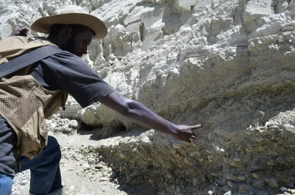
Understanding the climate history of Mono Lake will help scientists understand the future impact of climate change. This is no esoteric question for Los Angeles, which depends in part on Mono Lake’s watershed for drinking water, green lawns, agriculture and industry.
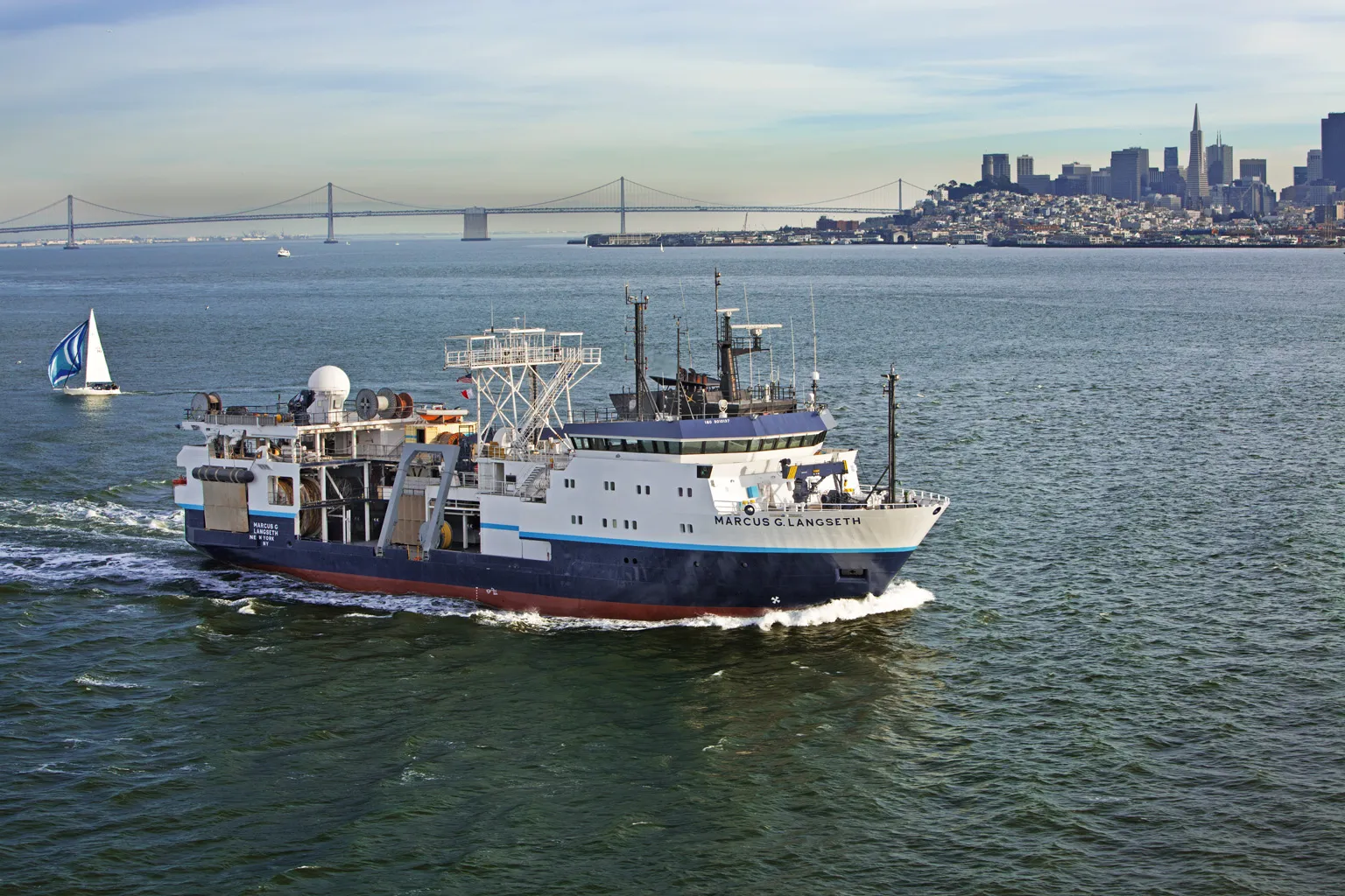
Scientists from Columbia University’s Earth Institute will present important research results and special events at the Dec. 9-13 San Francisco meeting of the American Geophysical Union, the world’s largest gathering of earth and space scientists. Here is a guide in rough chronological order.
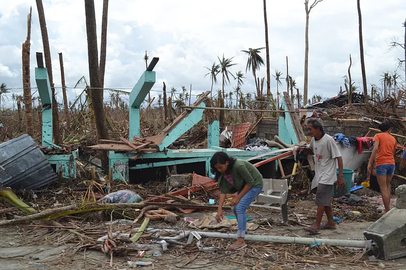
The jury is still out on how tropical storms will change as climate warms, but rising sea levels will almost certainly place more coastal property at risk of flooding, says a team of scientists writing in the journal Nature.
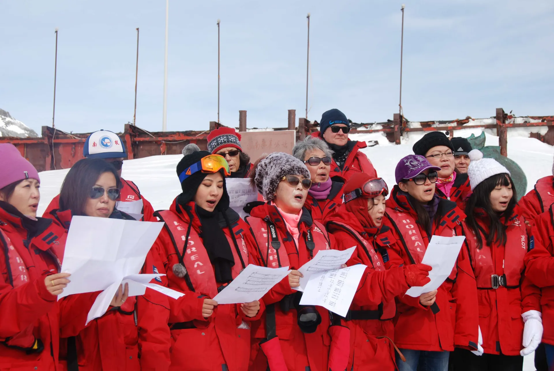
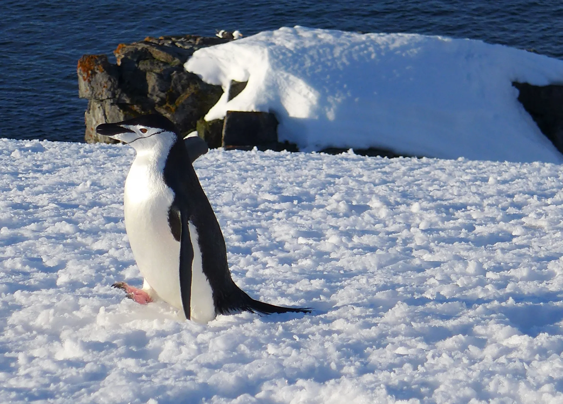
The most anticipated event of the Antarctic Forum was the visit to China’s oldest Antarctic Station. Named for one of China’s most incredible human achievements, the station has grown to 15 buildings from its original handful of structures.