Overview
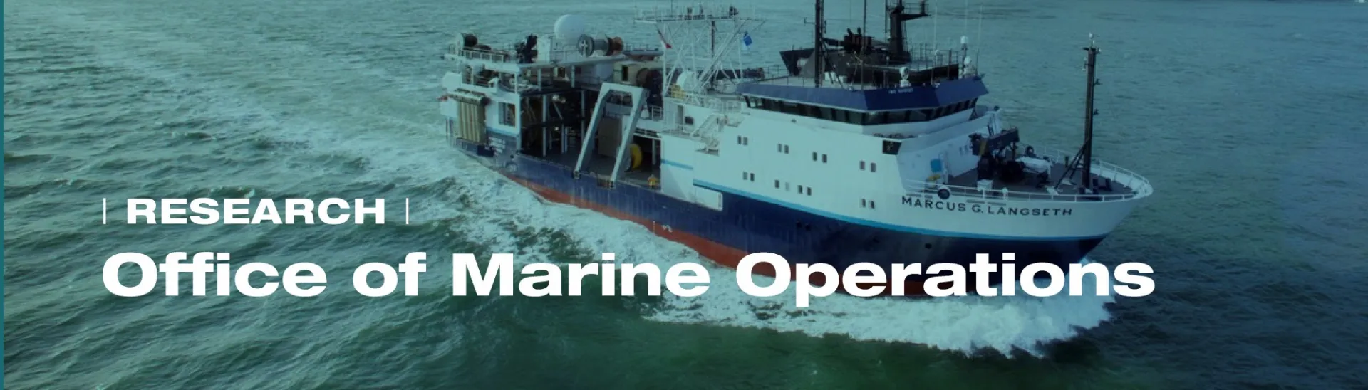
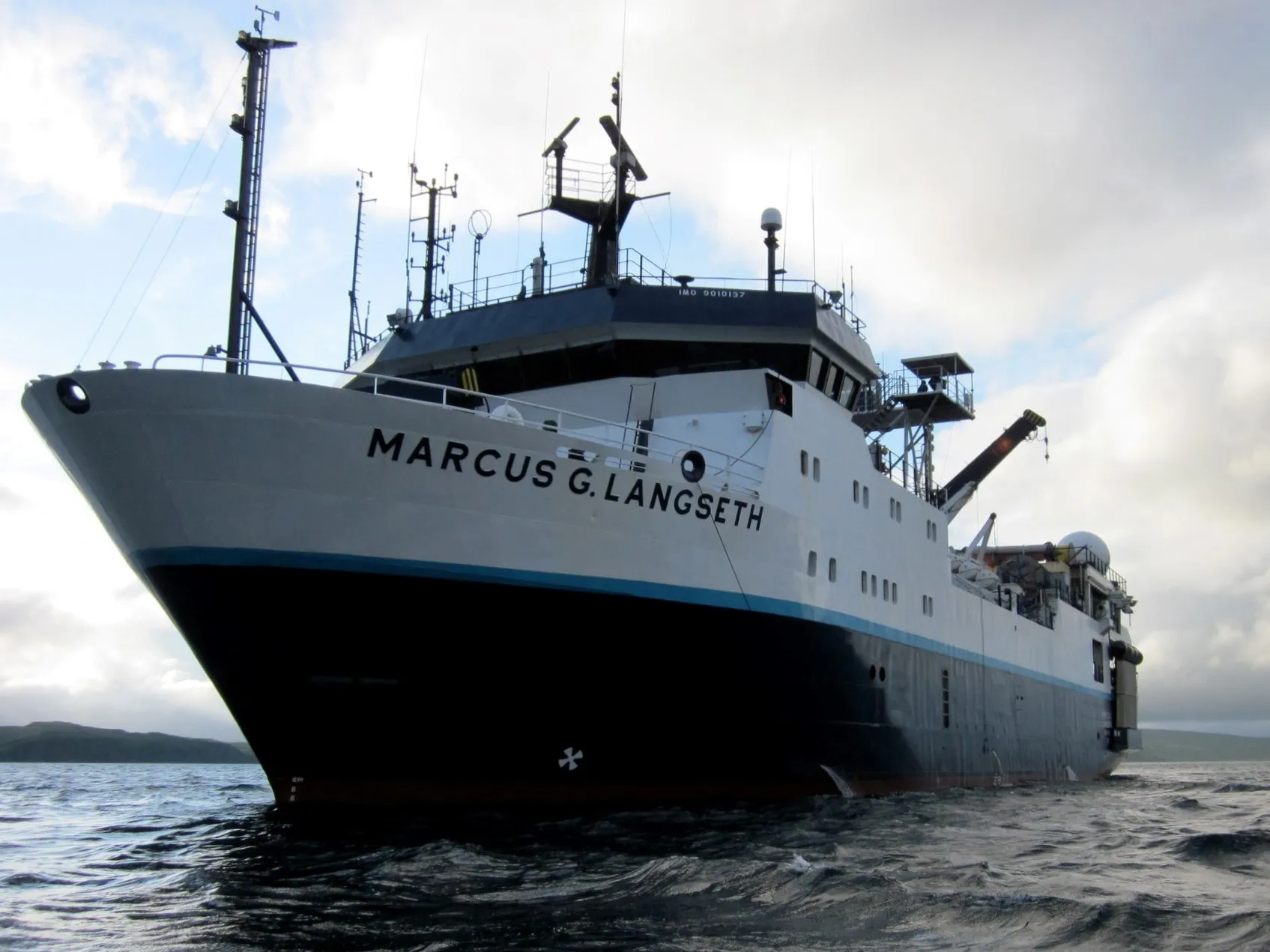
The Office of Marine Operations (OMO) operates Lamont-Doherty’s Research Vessel Marcus G. Langseth, which serves as the national seismic research facility for the United States academic research community. Scientists and researchers from all over the world participate in research programs aboard the Langseth to understand climate variations, our oceans, and submarine volcanoes.
The Langseth's unique seismic capability allows it to provide both 2D and 3D maps of the Earth's structure miles below the seafloor. Utilizing the vessel's other capabilities, expeditions have collected sediment cores for understanding climate variations throughout the Earth’s history, sampled seawater for determining physical and chemical properties of the oceans, and deployed remotely operated vehicles (ROVs) for studying submarine volcanoes.
The Langseth is a part of University-National Oceanographic Laboratory System (UNOLS), an organization of 59 academic institutions and National Laboratories involved in oceanographic research and joined for the purpose of coordinating oceanographic ships' schedules and research facilities.
Langseth News
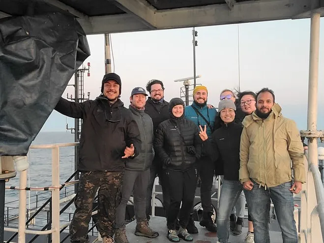
Life Aboard the Langseth: A Q&A With Chief Science Officer Cody Bahlau
On Columbia’s global research vessel, the R/V Marcus G. Langseth, Bahlau serves as the key link between scientists, crewmembers and operations on shore.
World Oceans Day Reimagines Our Relationship With the Water Around Us
In honor of this annual U.N. event, we are highlighting our coverage of ocean research and education initiatives at the Columbia Climate School and Lamont-Doherty Earth Observatory.
Taking Science Education to the Seas With the 2025 School of Rock
Aboard the R/V Marcus G. Langseth, 13 teachers traveled from San Diego to the Galápagos Islands this summer, learning about oceanography and collaboration along the way.