Lamont in the Media
June 17, 2026
A Snapshot of Continental Crust in the Making
Earth & Climate Science News
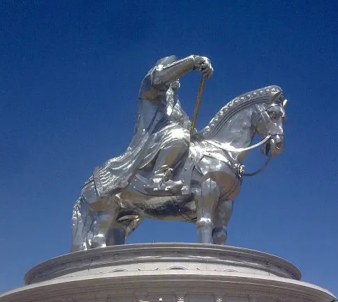
Once you, as an outsider, spend considerable time in Mongolia, especially during Naadam and especially in the open Gobi steppe with people who still live as their ancestors did centuries ago, you will also begin to chase Chinggis Khaan.
Our sensors record the same seismic signals as the ocean bottom seismometers the R/V Oceanus deployed, and we will combine the data later. They can detect R/V Langseth signals up to 100 miles inland! This is something extraordinary, and difficult to believe until seen.
Watch a slide show featuring ongoing research by scientists at Columbia University’s Lamont-Doherty Earth Observatory, whose work around the globe is key to understanding past changes in the oceans and what is going on today.
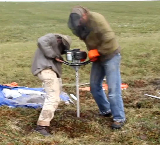
After a day of coring on Tuesday, we decided to give our arms and backs a rest and collect water and plant samples. We take these samples so that we can characterize the chemical signatures of each plant type, and water from different parts of the system. Then, we can recognize those same signatures in… read more
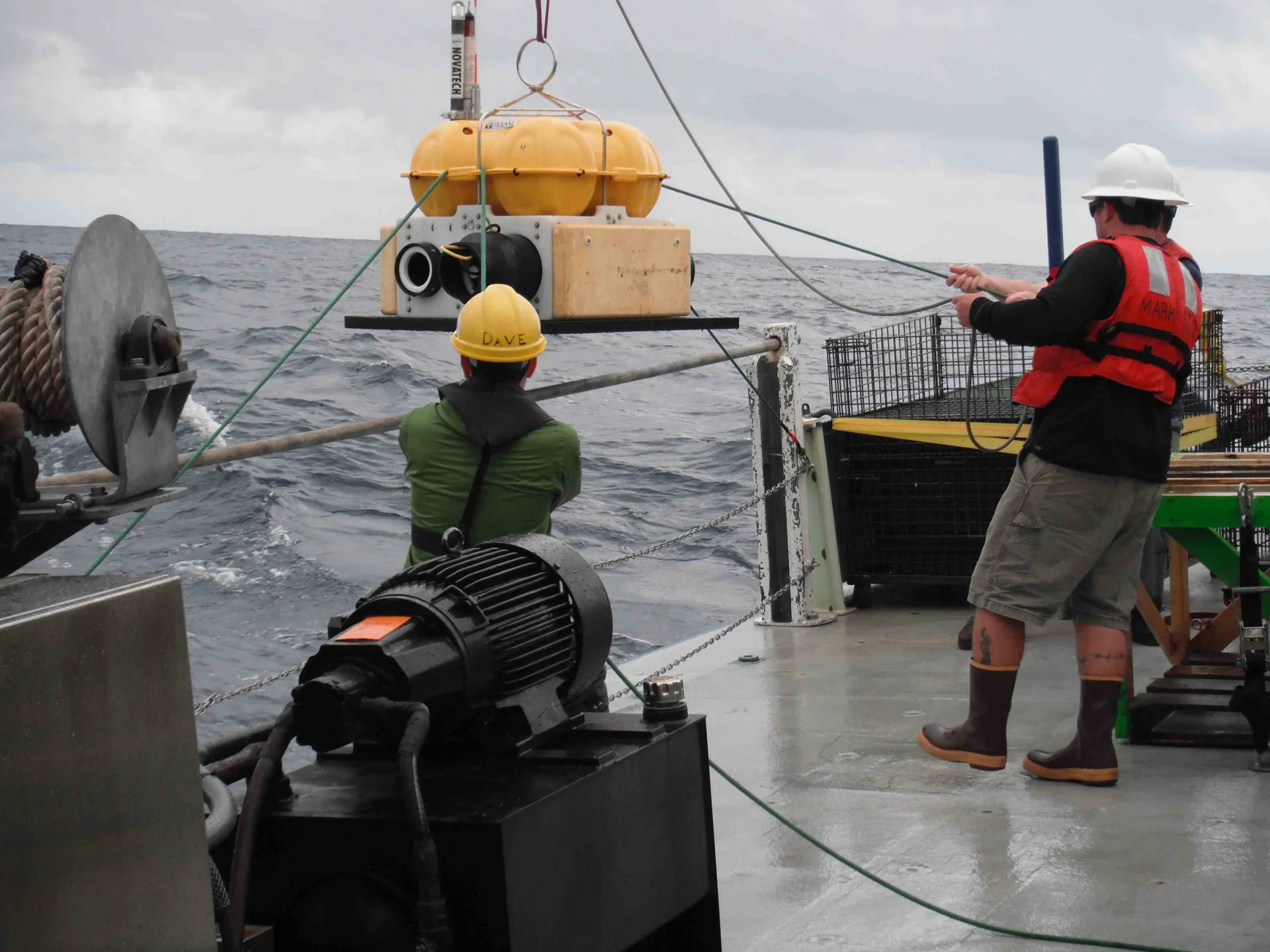
By Helene Carton As part of our study of the Juan de Fuca plate from its birth at the mid-ocean ridge to its recycling at the Cascadia subduction zone, the R/V Oceanus has the task of conducting Ocean Bottom Seismometer (OBS) operations and oceanographic measurements: this is done in close coordination with the R/V Langseth,… read more
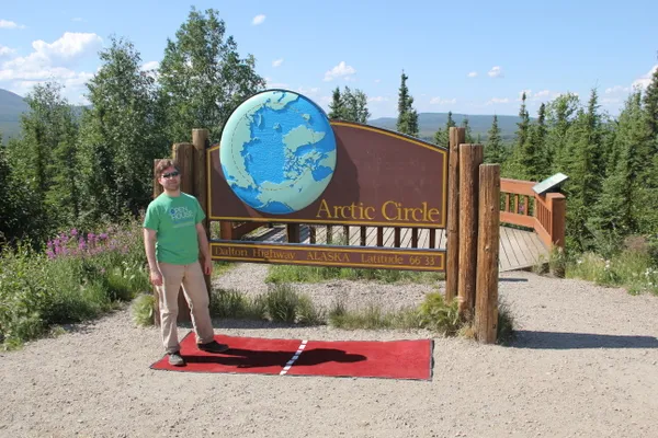
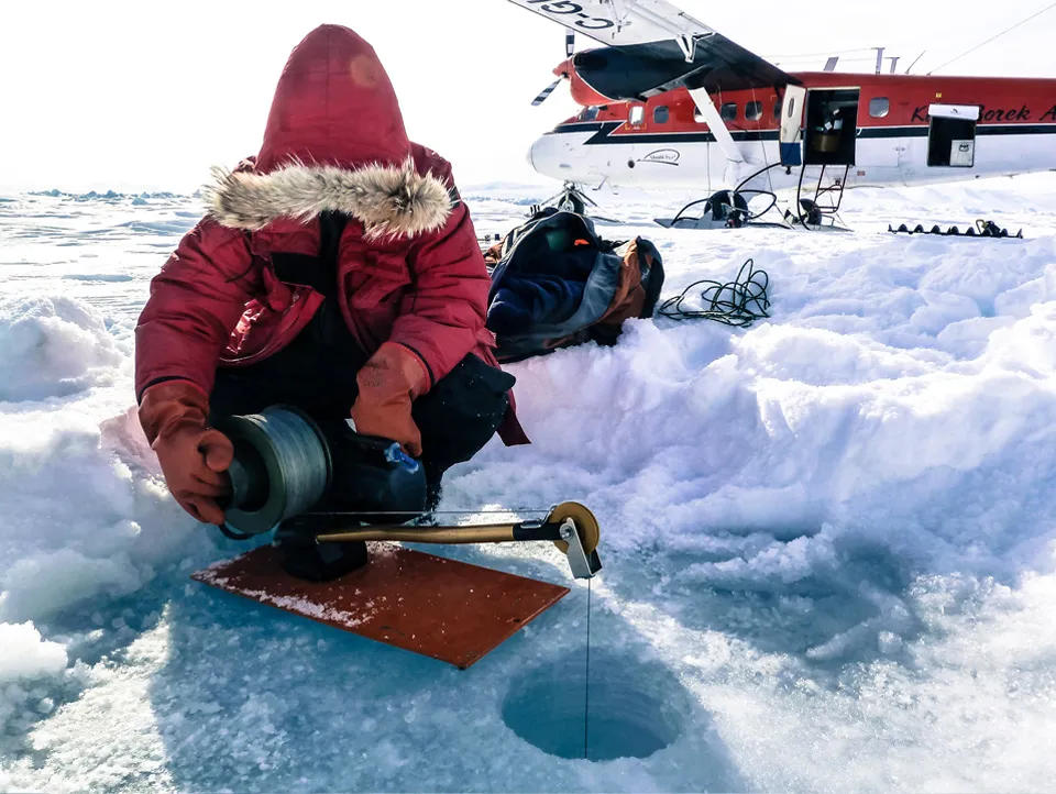
Hello from the land of the midnight sun! We have just arrived by way of the famous Dalton Highway at Toolik Field Station, a Long Term Ecological Research site of the University of Alaska Fairbanks. We pulled up to the station just in time for dinner, a quick trip to the field station’s wood-fired sauna, and a dunk in Toolik Lake to wash off the dust of the road. Now it’s time to try and block out enough sun to get some shut-eye before a long day of coring tomorrow. Check out some pictures from our 360-mile drive after the jump.
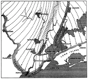
A mile or so of glacial ice covering much of North America and plowing down from the north once terminated in the New York metropolitan area, at a front stretching roughly from exit 13 on the New Jersey Turnpike (Rahway), on across southern Staten Island, the Bensonhurst neighborhood of Brooklyn, and northeastward through Long Island. But exactly when that ice started… read more
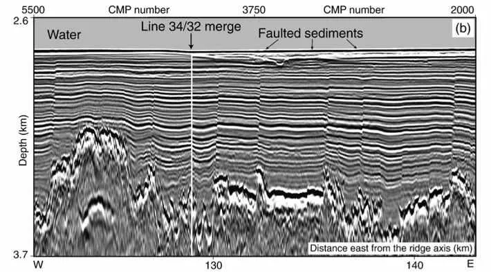
Heading west from coastal Oregon we are able to make our initial seismic images beneath the seafloor continuously as we go. Where once our data would have been recorded on magnetic tapes only to be analyzed long after the expedition was over, thanks to the wonders of modern signal processing, we can now make images… read more
Yesterday we deployed one of the Langseth’s long cables equipped with listening devices and began the second phase of our survey which we have been awaiting with much anticipation.
In the research expedition now underway, we will investigate the Juan de Fuca plate before it disappears under North America to understand why earthquakes happen where and when they do within the Cascadia subduction zone off the Pacific Northwest. Our ship, the R/V Marcus G. Langseth, is one of 25 research vessels available to U.S. scientists for oceanographic research.
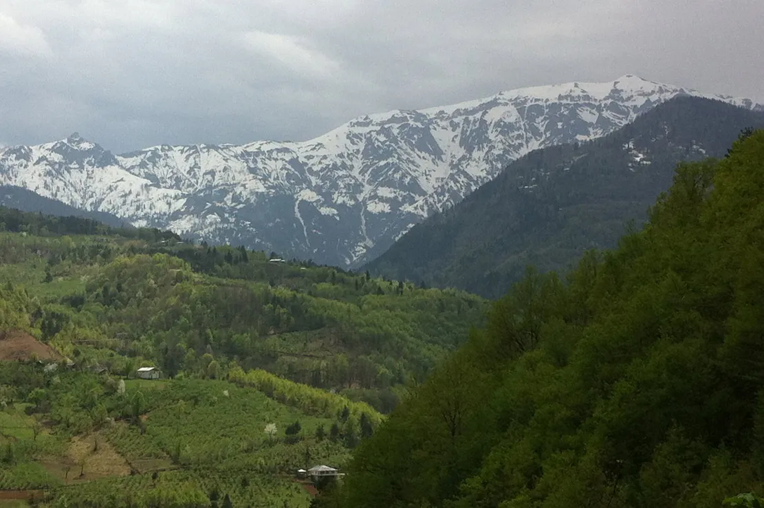
After a few days of mild frustration, the sampling of potentially old umbrella pine lifted our spirits and put us in a good frame of mind to conduct our last day of research in the temperate rainforest region of northeastern Turkey. We headed out of Borçka and met with a forest officer in charge of forests… read more