
Lamont in the Media
Earth & Climate Science News
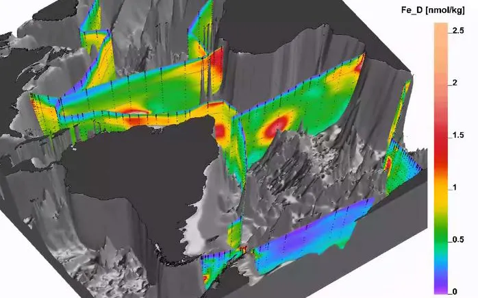
Until recently, too little data existed about the distribution of trace elements and nutrients in the oceans to provide a global picture. In 2002, a group of scientists connected with Columbia University’s Lamont-Doherty Earth Observatory set out to fill those gaps.
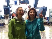
Rose Dufour, NSF's Program Director of Ship Operations, joined the cruise to talk with early career scientists about writing scientific proposals and loving what you do.
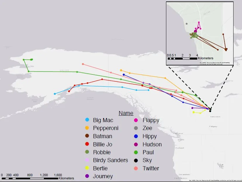
Big Mac, Pepperoni, Billie Jo, Birdy Sanders, Bertie, Journey, Hippy and Twitter flew an average of about 1,215 km. “Paul,” named for a teacher who had passed away, traveled 3,220 km.
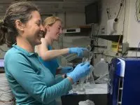
Early-career scientists aboard the UNOLS training cruise are getting to try new techniques and technologies, and collaborations are springing up everywhere.
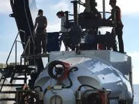
It's midnight on the ship, and the labs are filled with scientists busy examining samples. Two of them just got back from a trip to the seafloor, and the excitement is palpable.
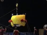
When scientists say "research cruise," they aren't talking about sunny afternoons of shuffleboard and margaritas on deck. Life aboard a research vessel means tight spaces, few amenities, and long workdays.
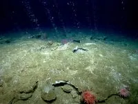
Bridgit's first mission with the autonomous underwater vehicle (AUV) Sentry was a rousing success, including locating a patch of seafloor where methane is bubbling up.
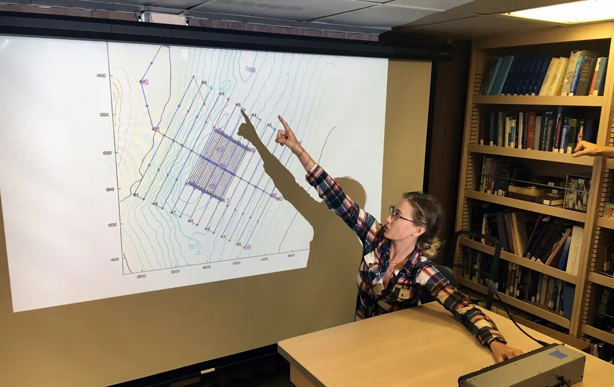
Bridgit’s research training cruise started with a fundamental lesson of ocean science: Science at sea requires constant adaptation. Morning fog meant rewriting dive plans and reconsidering priorities.
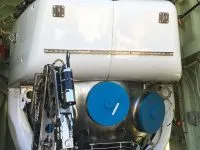
Bridgit Boulahanis, a marine geophysics graduate student at Lamont-Doherty Earth Observatory, prepares to head out on her first research cruise exploring the seafloor with underwater vehicles.
Twelve students from New York and New Jersey are spending July in laboratories at Lamont-Doherty Earth Observatory, working with the scientists. The internship program enables students to spend four weeks exploring what it means to be an earth scientist.
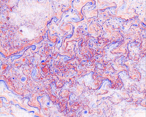
The sheer number of observations now streaming from land, sea, air and space has outpaced the ability of most computers to process it. The Data Science Institute’s newest working group —Frontiers in Computing Systems—will try to address some of the bottlenecks facing scientists working with these and other massive data sets.
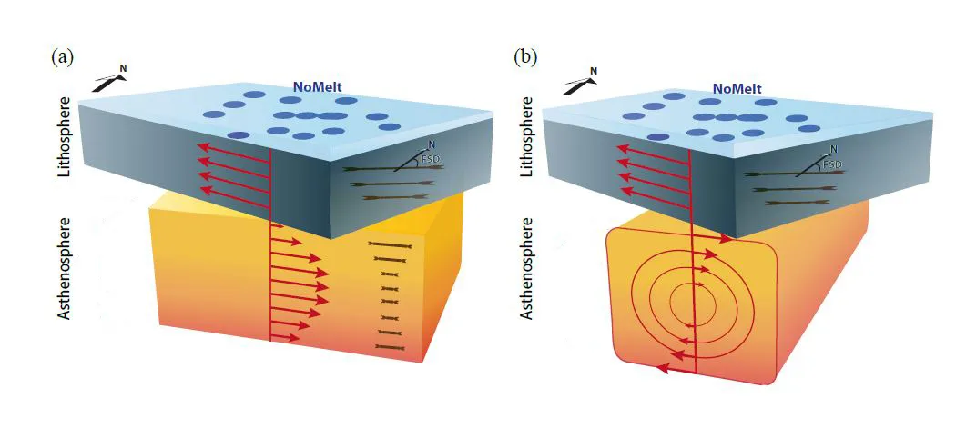
A new study carried out on the floor of Pacific Ocean provides the most detailed view yet of how the earth’s mantle flows beneath the ocean’s tectonic plates.