
Lamont in the Media
Earth & Climate Science News
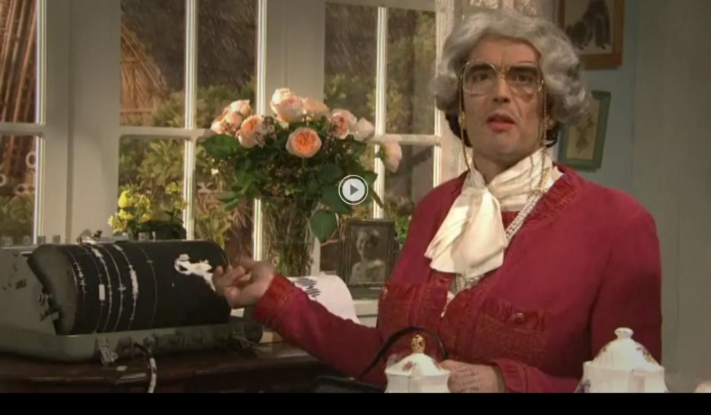
The Feb. 12 Saturday Night Live had a skit called “A Spot of Tea,” in which three very proper English ladies spill boiling water on their laps and lose a massive shelf of glass knickknacks during a series of giant earthquakes. Behind them is a seismograph registering the chaos—a portable MEQ-800 model, supplied by Lamont-Doherty Earth… read more
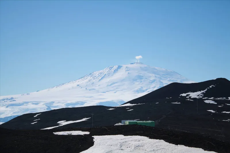
Kathy Licht, an “old hat” of Antarctic field research and part of the Antarctica's Secrets team, shares her impressions how it feels to be back on the ice.
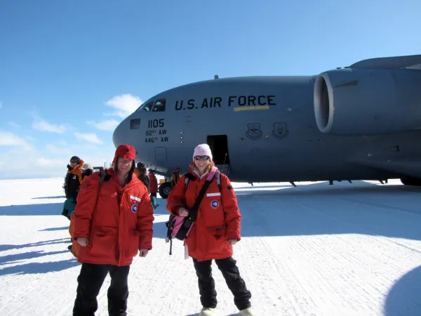
Having picked up their extreme weather gear in New Zealand, our Antarctica's Secrets team lands on Antarctica and settles in McMurdo station where they will be trained and prepared for their camping trip to the Transantarctic mountains.
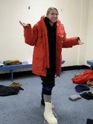
After months of waiting, our Antarctica's Secrets team leaves Los Angeles on a non stop 12 hour flight to New Zealand. Their first stop is Christchurch, New Zealand, where they pick up their extreme weather clothing for the trip to Antarctica.
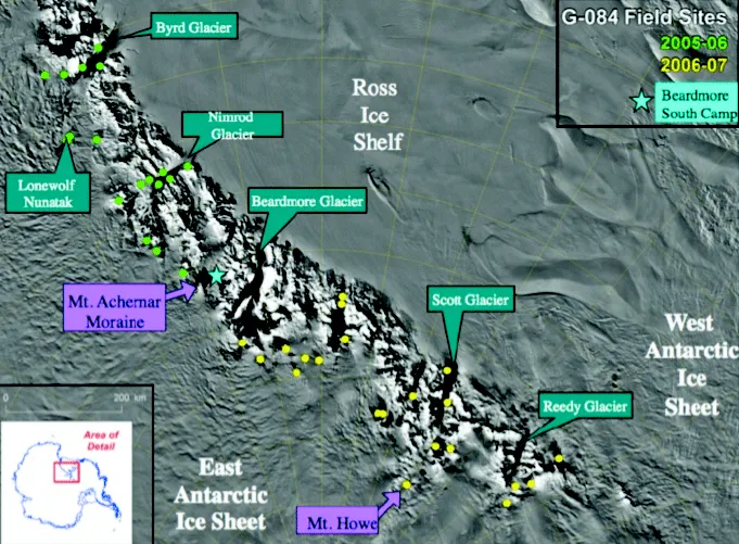
Understanding the historical context and dynamics of Antarctica’s massive ice sheets is critical for modeling future changes that have the potential to impact the globe, including significant contributions to sea level rise.
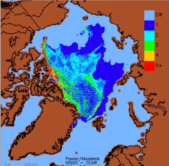
If climate change proceeds apace, summer sea ice in the Arctic is projected to nearly disappear by the end of this century. But a group of researchers predicts that ice will continue to collect in one small area, perhaps providing a last-ditch stand for ringed seals, polar bears and other creatures that cannot live without… read more
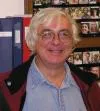
David Walker, a professor of geochemistry at Lamont-Doherty Earth Observatory, will be honored tonight by colleagues at the American Geophysical Union for decades of groundbreaking work to understand the early formation of the moon and Earth. Walker will receive the AGU’s Harry H. Hess Medal, awarded for “outstanding achievements in research of the constitution and evolution of Earth and… read more
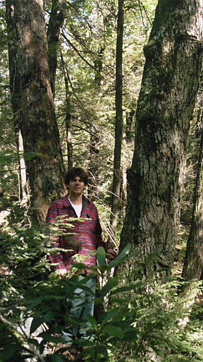
All day long a flood of thousands scientists and students ebbs and flows across San Francisco’s 4th Street and Howard Avenue, coursing between the cavernous Moscone West and Moscone South convention buildings. The AGU is like a supercomputer of earth science, with human currents of data swapping information, heading from one talk to another, processing… read more
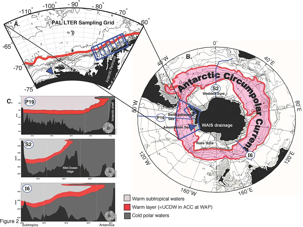
Like dirt swept under the carpet, it appears that much of the human-made heat produced over the last century has been getting soaked up by the world’s oceans, and sinking into deep waters.
At AGU, you need the right tools to understand what’s going on, and to get where you need to go. Columbia researchers have been looking for the right tools to navigate another complicated place: The gap between what climate science tells us, and how a lot of the public hears that information.
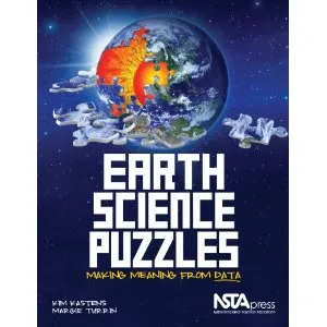
Charts, graphs and maps representing natural phenomena can be a challenge to anyone trying to extract something meaningful from them. A new book, Earth Science Puzzles: Making Meaning From Data, aims to help students of earth and environmental sciences decode images by presenting practice puzzles consisting of real-world scientific data. The authors are Kim A. Kastens and Margie Turrin of… read more
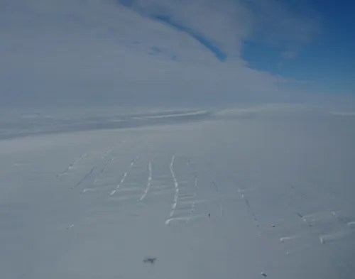
Kirsty Tinto joins Operation IceBridge on two flights over the Amundsen Sea and past Thwaites Glacier to survey the Getz and the Dotson ice shelves.