
Lamont in the Media

Earth & Climate Science News
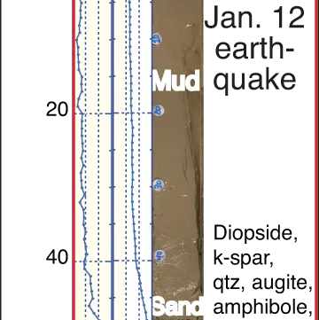
For all of its violent destruction, the earthquake that struck Haiti on Jan. 12, 2010, hardly scratched the surface of the island. But scientists now say they have found some of the best clues to understanding the quake under water.
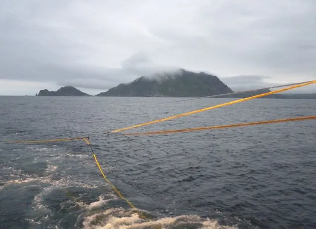
One of the core objectives of our project is to image the part of the plate tectonic boundary that locks up and then ruptures to produce great earthquakes. To examine deep parts of the interface between the Pacific plate and the North American plate in the Aleutian subduction zone, we need to go as close to the coast as possible. This is easier said than done.
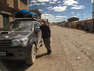
After a busy few weeks in the Cordillera Carabaya, our field team has said goodbye to the snowy, tempestuous climate of the eastern Andes and is moving west to the desert of Arequipa. Here the mountains are massive, isolated volcanoes, many of which exceed 6000 m in elevation. In fact, Coropuna is the third highest mountain in Peru and certainly the most sprawling.
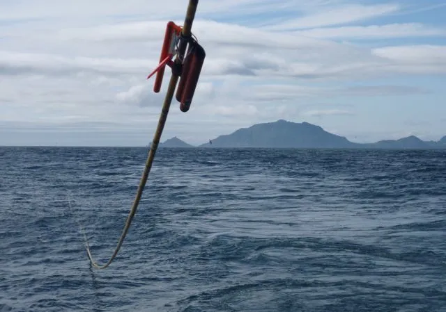
On July 11, we marked the successful completion of the first phase of our project and embarked on the second. Part 1 involved deploying ocean bottom seismometers and recording air-gun-generated sound waves. We successfully retrieved all of the OBS’s, and the data that they recorded look very exciting at first blush (and contain some surprises!).
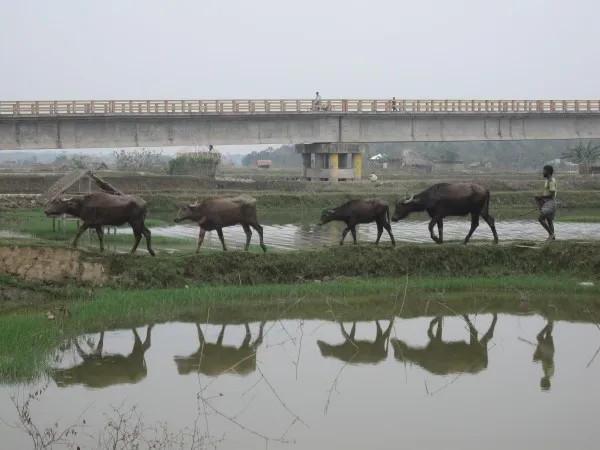
Beneath Bangladesh: The Next Great Earthquake? from Earth Institute on Vimeo. After the recent great quakes that have swept away entire coastlines and cities in Japan, Haiti and Sumatra, scientists are now looking hard at the nation that may suffer the gravest threat of all: Bangladesh. A new documentary from the Earth Institute follows seismologists as they trace signs of… read more
A team led by Kevin Anchukaitis of the Lamont-Doherty Earth Observatory Tree Ring Lab is currently in Alaska's Arctic National Wildlife Refuge, studying the effects of changing climate on trees. Working near the treeline, they're taking cores from spindly white spruces to measure weather of the past.
The oceans absorb nearly a third of the carbon dioxide humans put into the air, and this has helped offset CO2’s potential to warm global temperatures. But many researchers think the oceans are struggling to keep pace with rising emissions. A new study looks at 30 years of data to see how natural variability and human influence are affecting the oceans’ ability to take in CO2.
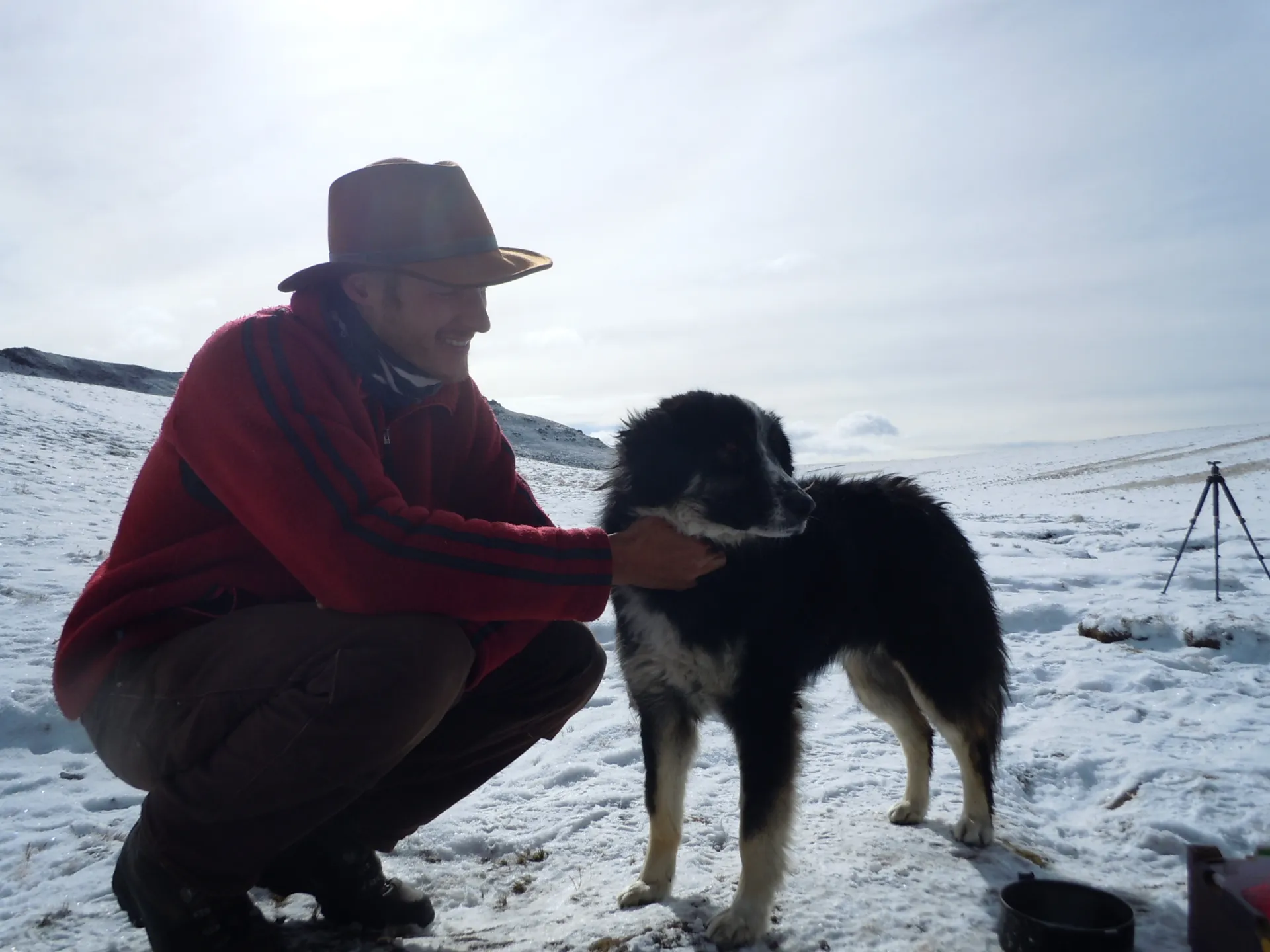
Our field team has acquired a dog, ¨”Mooch”. Walking back to camp yesterday, amid driving snow and fully laden with rock samples, there he was exploring what passes for our kitchen. Unlike most Andean dogs - ferocious beasts trained to keep geologists from harassing the livestock – this one is a cheerful soul, happy to hang around and be fed whatever is going, and always up for affection.
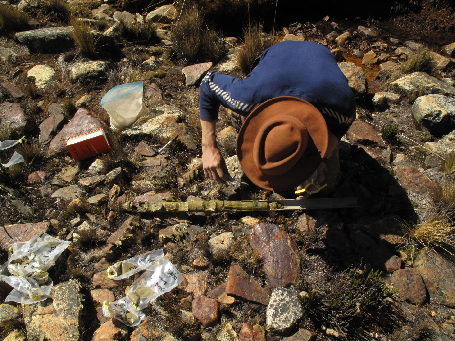
Thanks in large part to Matt, an undergraduate from Pacific Lutheran University in Washington, our field team now has more than sixty samples for surface-exposure dating. This is no easy feat, for collecting these samples requires a great deal of hammering on granite boulders with nothing more than a hammer and chisel. There are other ways of doing it, such as using small explosive charges, rock saws, or splitting wedges, but we find that good old-fashioned hammering is by far the safest way.
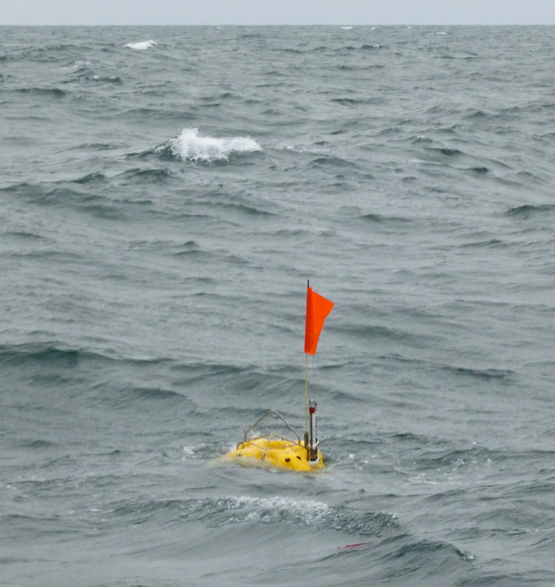
After leaving our seismometers on the seafloor offshore Alaska for a few days to record sound waves generated by the air guns of the R/V Langseth, we returned to collect them. The recovery of OBS always involves a certain amount of suspense.
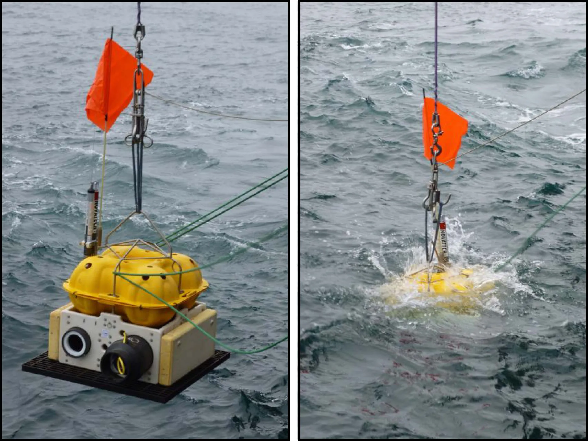
On July 2, we finished deploying over twenty ocean-bottom seismometers as a part of our marine expedition to study a major tectonic boundary offshore Alaska. Ocean bottom seismometers (OBS’s) are autonomous instruments that sit on the seafloor and record sound waves traveling through the earth and the water. Floats made from glass balls and syntactic… read more
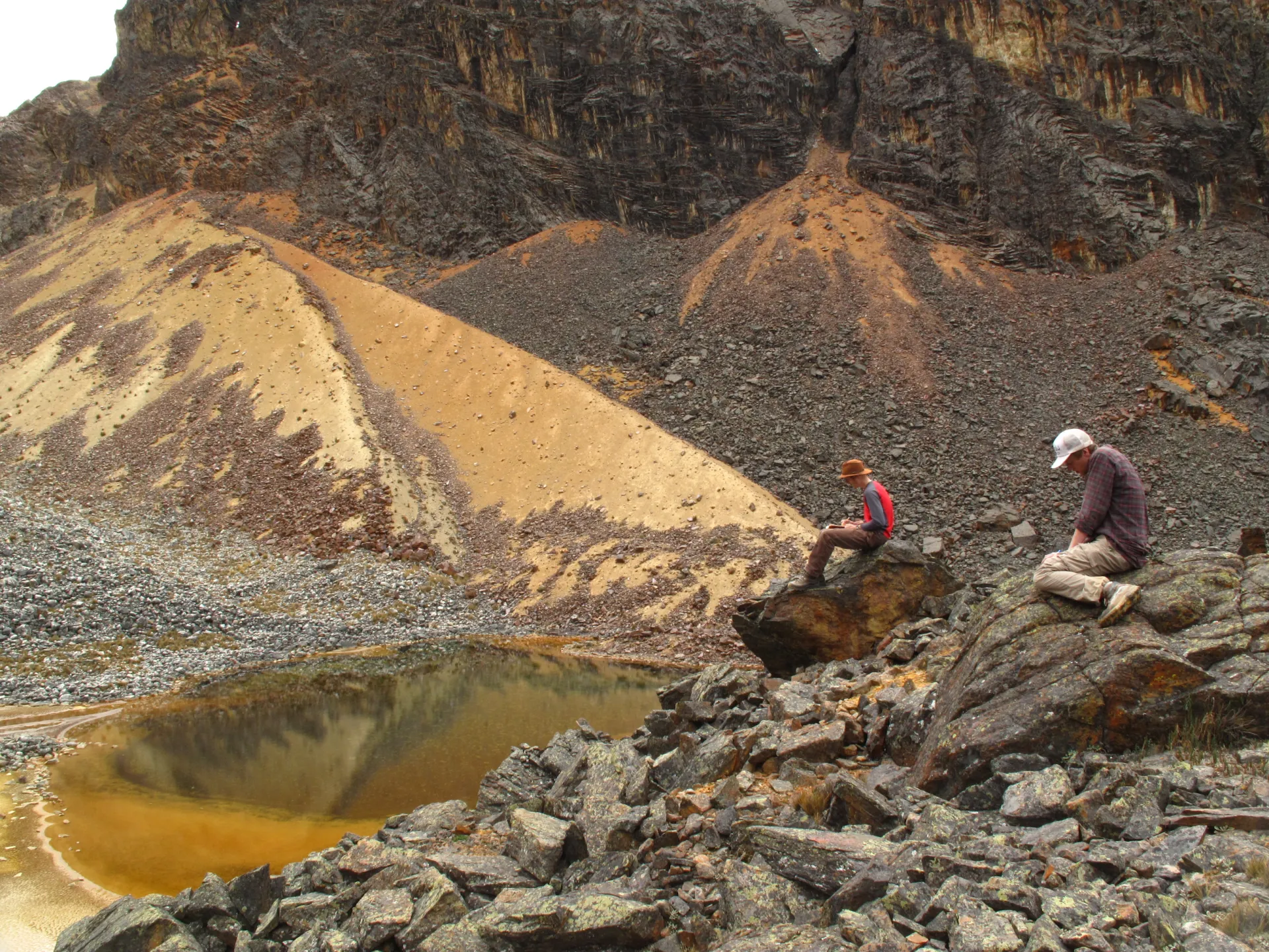
Each morning starts the same in the Andes: the frost is heavy on the insides of our tents and falls with the slightest movement, while the realization that it´s going to be a freezing exit from the sleeping bag is tempered by gratitude that the thirteen hour night is over. Yes, sunrise in the Andes is a momentous occasion each day, one that feels a million miles away from home.