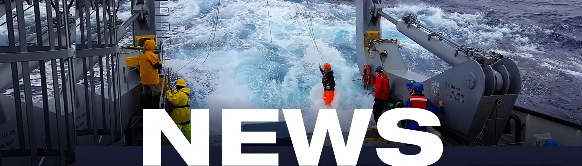
Lamont in the Media
June 17, 2026
A Snapshot of Continental Crust in the Making
Earth & Climate Science News
Researchers are using ocean-bottom and land-based seismometers to record the R/V Marcus Langseth’s soundings from afar, to better understand the potential impacts of large earthquakes in the Cascadia region.
Much of the modern understanding of climate change is underpinned by pioneering studies done at Columbia University's Lamont-Doherty Earth Observatory. Here's a timeline of significant studies.
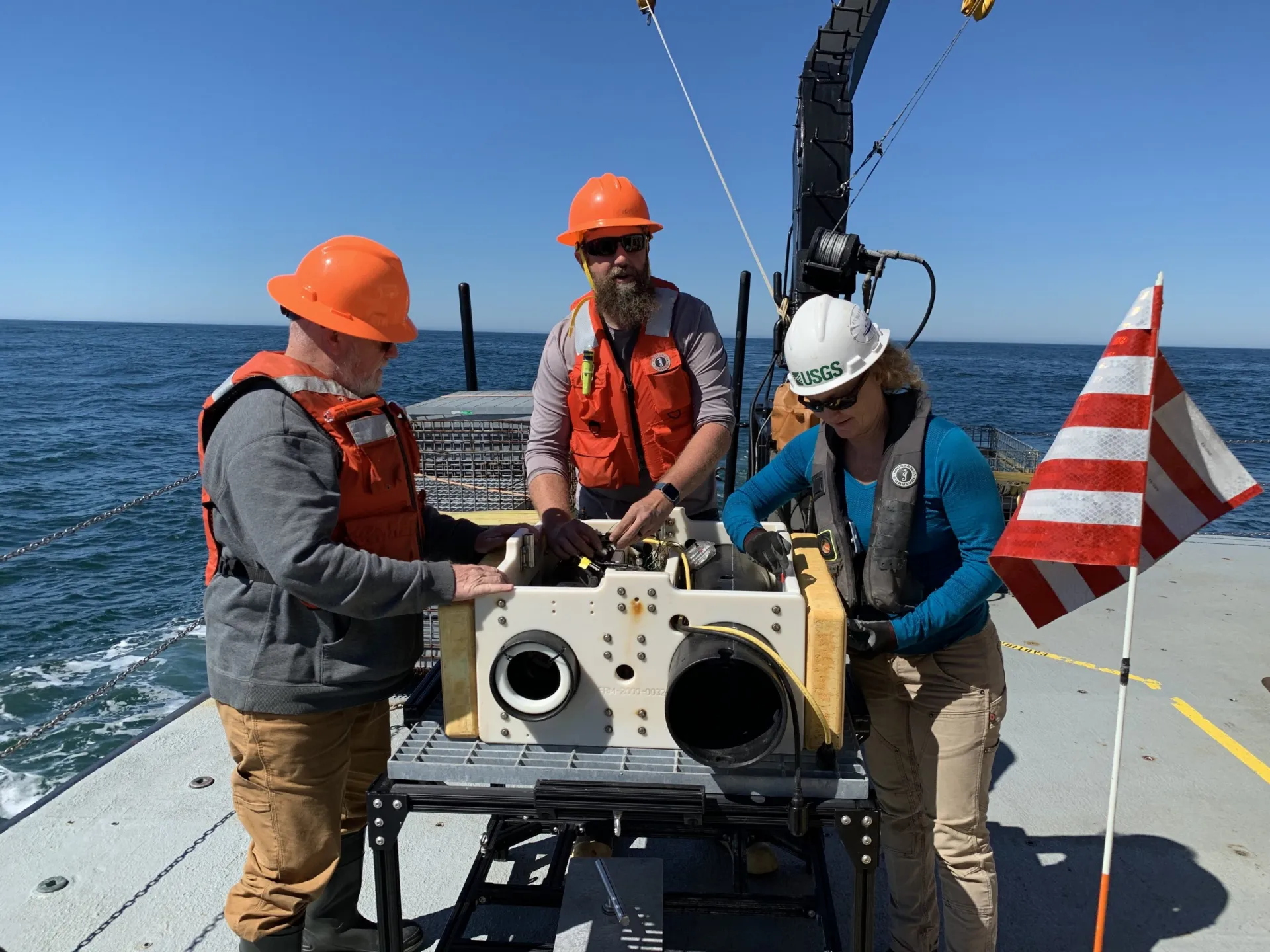
While researchers search for a megathrust fault off the Pacific Northwest coast, they are also helping to map the seafloor in high resolution and detect underwater methane seeps.
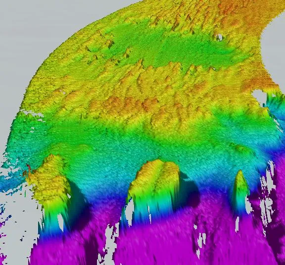
Underwater mountains may help to dampen movements along faults that otherwise have the potential to generate large earthquakes.
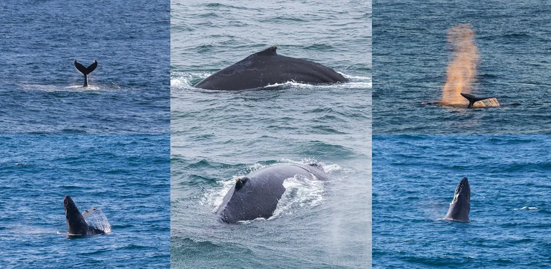
When using sound to search for an undersea fault, researchers must take special precautions to protect dolphins, whales and other vulnerable species.
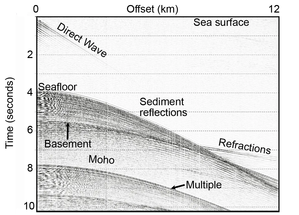
Using sound and a 7.5-mile-long streamer towed behind the boat, scientists can collect a tremendous amount of data from under the seafloor.
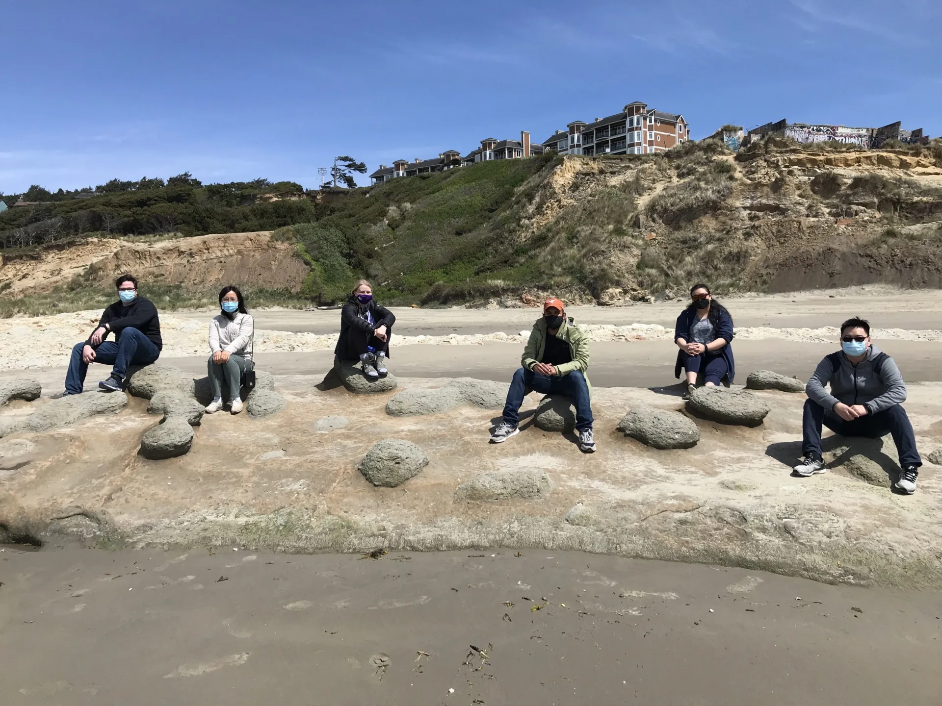
Before embarking on a 6-week voyage to scan for Cascadia’s megathrust fault, the research team had to quarantine for two weeks in a hotel.
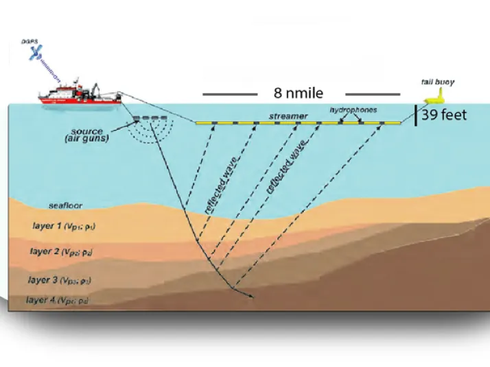
Researchers have set sail to find and map a fault that causes giant earthquakes in the Pacific Northwest.
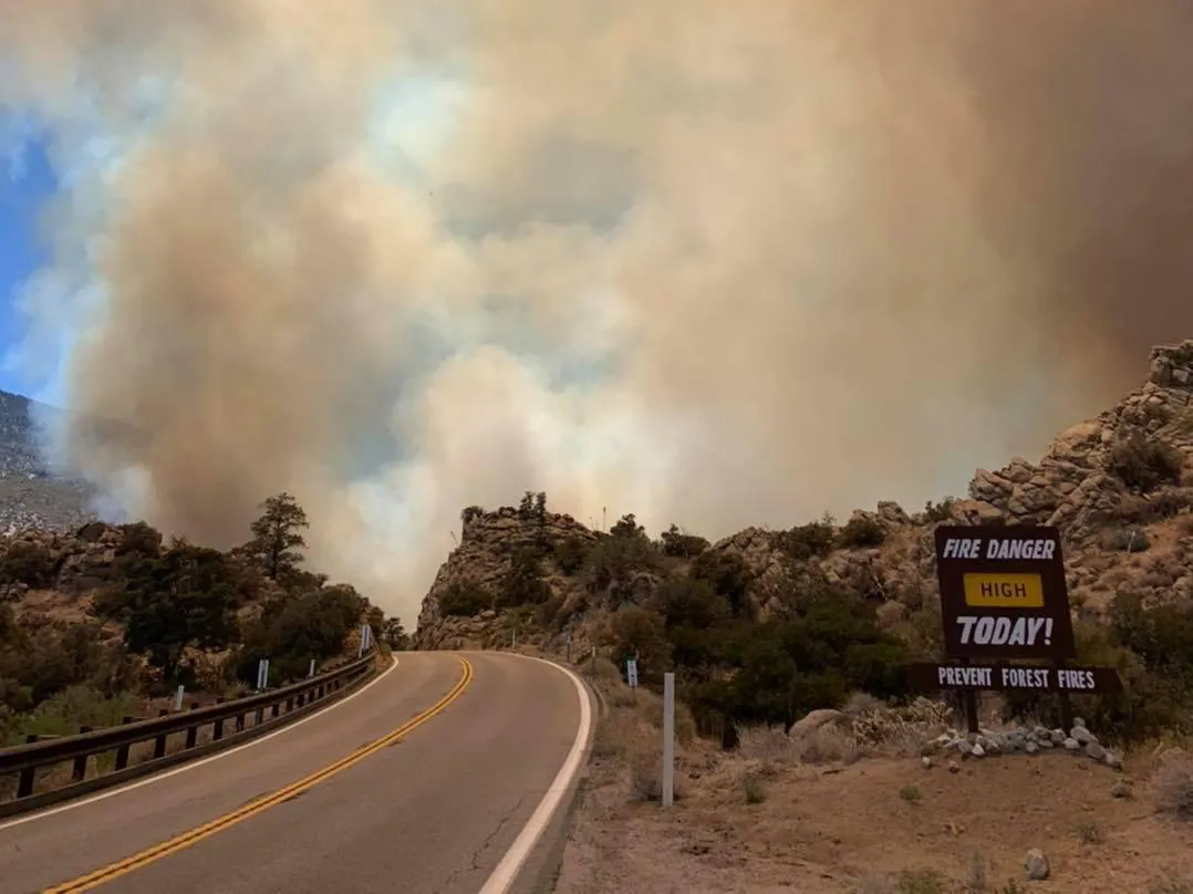
Climate change may be loading the dice for a tough summer.
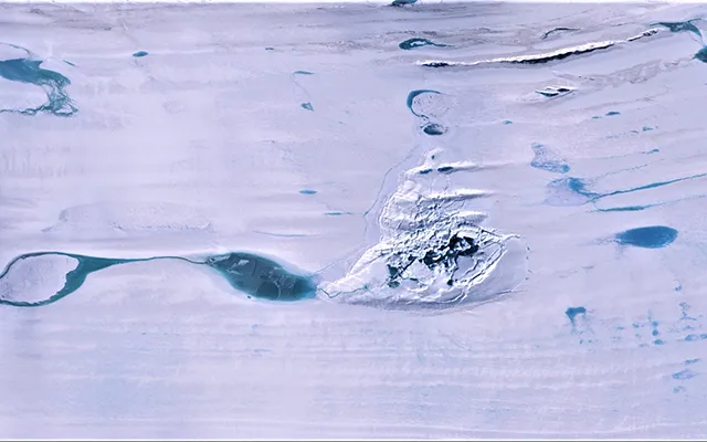
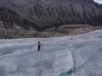
A rarely seen phenomenon may not bode well for the future survival of the ice.
Understanding how people will respond to climate dangers depends not only on top-down data, but also on bottom-up community engagement.
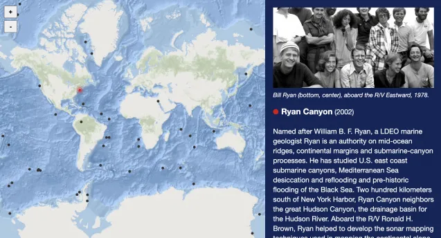
The legacies of many of our researchers are recorded not only in the history books, but also in the mountains, canyons, and islands that now bear their names.