A Texas-Sized Block of Ice…
The Ross Ice Shelf is the largest of the Antarctic ice shelves, measuring just under the size of the state of Texas. It is several hundred meters thick, although most of this is below the water surface. Along the ~ 600 kilometer front edge of the shelf, the ice towers up to 50 meters in height; a sheer vertical wall of white and the iridescent blue of compressed ice.
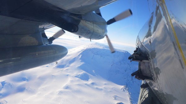
The first dedicated Antarctic Icepod mission was flown out across the center of the Ross Ice Shelf. Ice shelves are thick floating extensions of the ice sheet that form as the ice flows off the continent and into the surrounding ocean. These are critical ice features in Antarctica, bounding a full 44 percent of her coastline, where they serve as a buttress to slow the ice movement off the continent into the ocean.
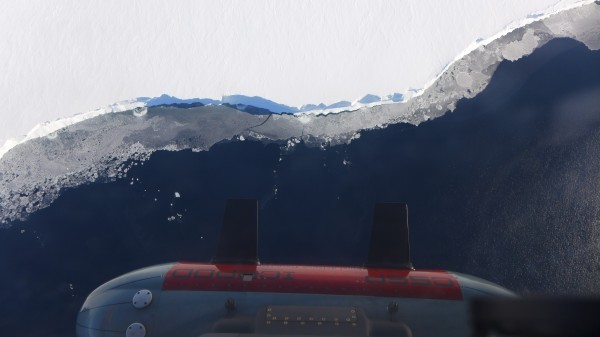
The Ross Ice Shelf is the largest of the Antarctic ice shelves, measuring just under the size of the state of Texas. It is several hundred meters thick, although most of this is below the water surface. Along the ~ 600 kilometer front edge of the shelf, the ice towers up to 50 meters in height; a sheer vertical wall of white and the iridescent blue of compressed ice.
The goal of the six-and-a-half-hour mission was to test how the Icepod could image the varying processes at the base of the ice shelf and how well the gravimeter would work flying 90m/sec.
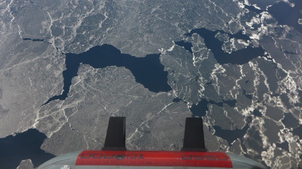
The gravimeter is a new addition to the Icepod suite of instruments. Housed separately inside the plane, the gravimeter requires a very stable platform. The instrument will be critical for determining the water depth beneath the Ross Ice Shelf, the least explored piece of ocean floor on our planet. The plan was to cross the front of the ice shelf towards Roosevelt Island, then fly inland until the plane crossed the J9 site where the first hole through the ice shelf was drilled in the early 1970s as part of the Ross Ice Shelf Project (RISP). Icepod would then fly back toward McMurdo along a line where there are plans for another science project to drill next year.
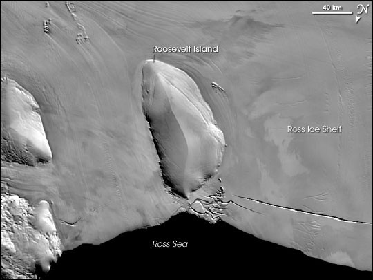
The collected radar data showed remarkable variability over the ice. Crossing over Roosevelt Island, the change from floating shelf ice to marginal crevasses (deep cuts or openings in the ice) to ice sitting directly on the bedrock was imaged. The variation in the reflection from the bottom of the ice probably represented the different processes occurring at the ice sheet base. In some places there was evidence of ice being added to the bottom of the shelf.
When the RISP team, which included Lamont’s Stan Jacobs, drilled through J9 in the 1970s, they found refrozen ice with a structure that resembled waffles. That team also captured pictures of fish beneath the ice shelf, demonstrating that the area below was not the wasteland that it was originally believed to be. Icepod overflew the best fishing hole on the Ross Ice Shelf while the team looked at the pictures of the bright-eyed fish in the Science paper, and smiled. It is almost 50 years later, and while we have a much better understanding of Antarctica, there remains so much that is unexplored.
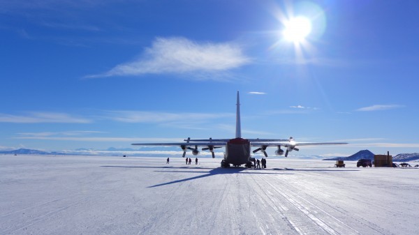
Icepod and the LC-130 returned to Willie Field and began immediately to plan for the next flight.
For more on the IcePod project: http://www.ldeo.columbia.edu/res/pi/icepod/
