
Interactive: The Heezen–Tharp World Ocean Floor Map
Explore Marie Tharp's groundbreaking 1977 World Ocean Floor map and discover how it transformed our understanding of the Earth.
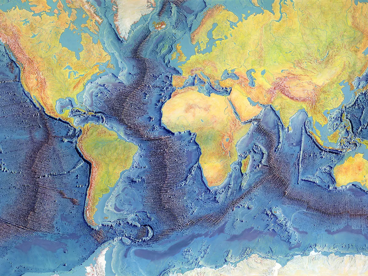
Though nearly three-quarters of Earth’s surface lies beneath the oceans, the seafloor remained largely uncharted until the mid-20th century.
In 1948, geologist and cartographer Marie Tharp came to Columbia’s Lamont Geological Observatory, now the Lamont-Doherty Earth Observatory, with training in geology, mathematics and drafting. Published in 1977, the World Ocean Floor map, produced while Tharp was at Lamont, presented a sweeping panorama that revealed the underwater landscape in remarkable detail. Today, it is regarded as a landmark in oceanography and scientific cartography.
This interactive explores key regions of the ocean floor and explains how decades of scientific observations were transformed into a vivid portrait of Earth’s hidden landscape. Along the way, you’ll learn how the map was created, meet the people behind it, and discover the marine geology and ocean science that continue to shape our understanding of the planet.
Visit State of the Planet to explore the interactive.