Photo Essay: Land, Lava, People
November 24, 2015
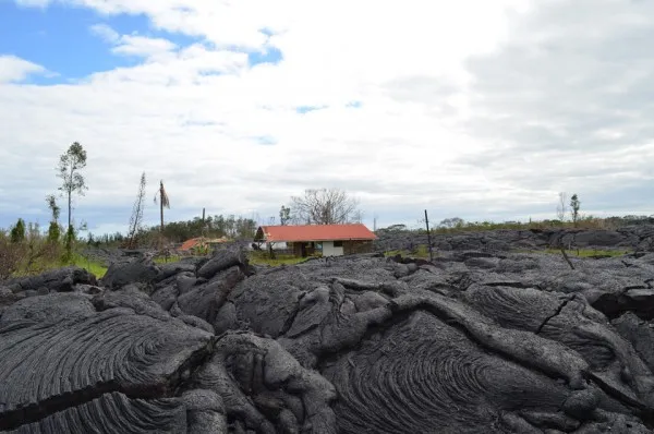
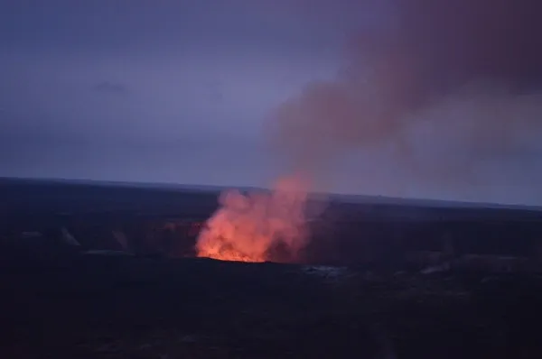
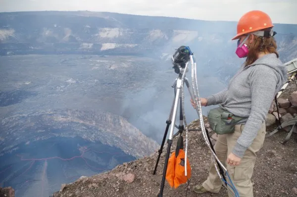
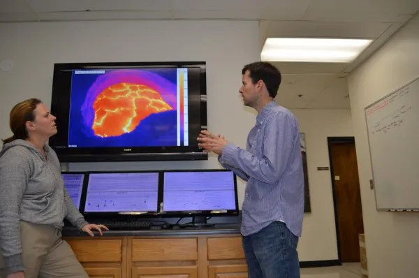
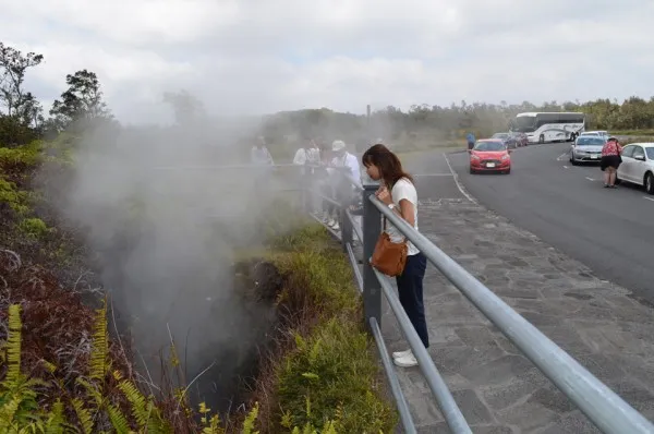
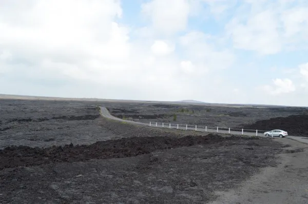
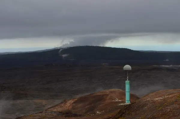
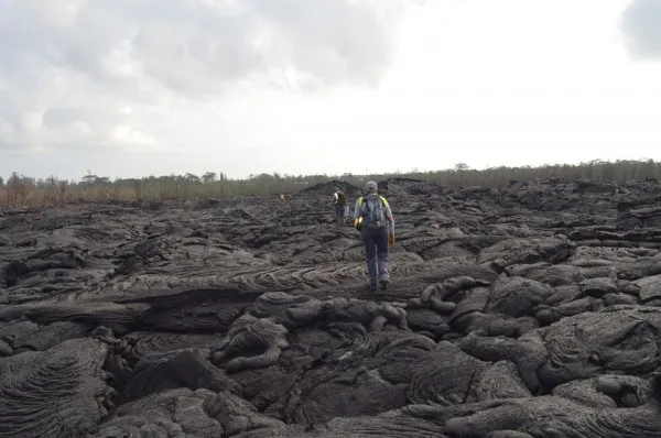
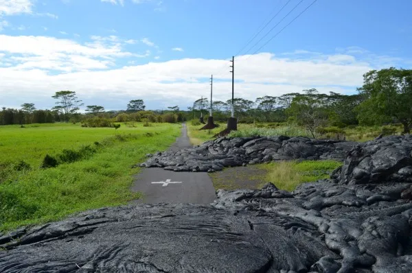
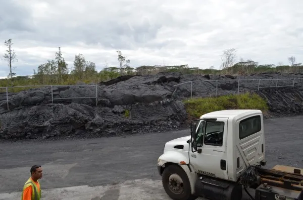
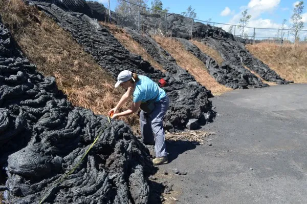
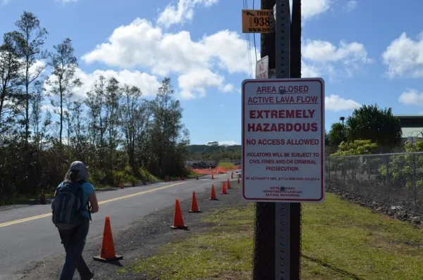
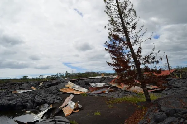
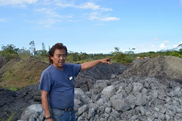
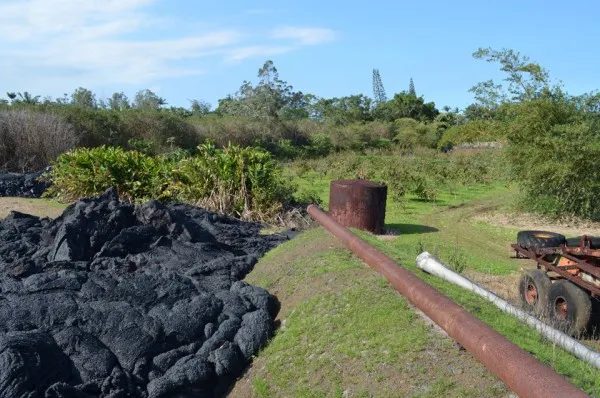
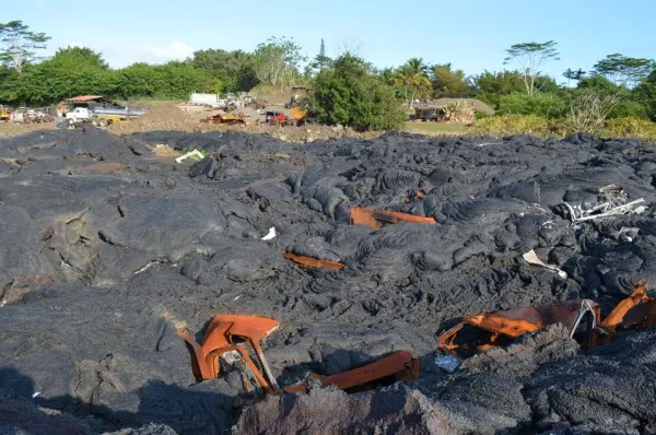
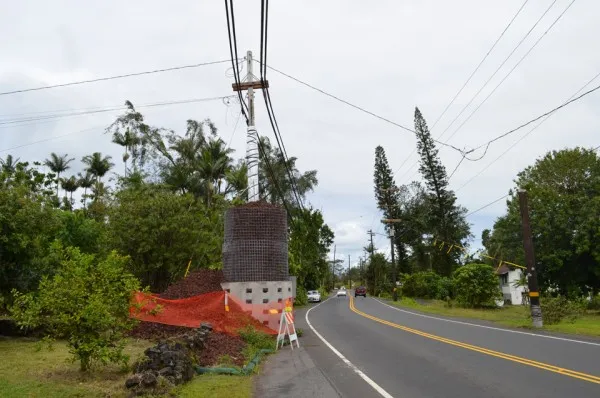
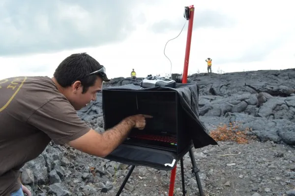
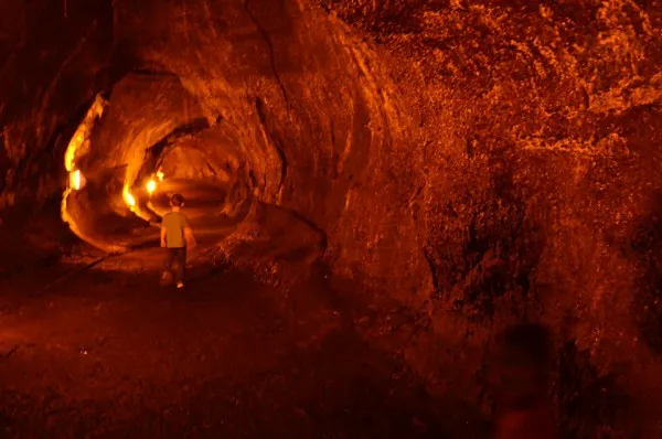
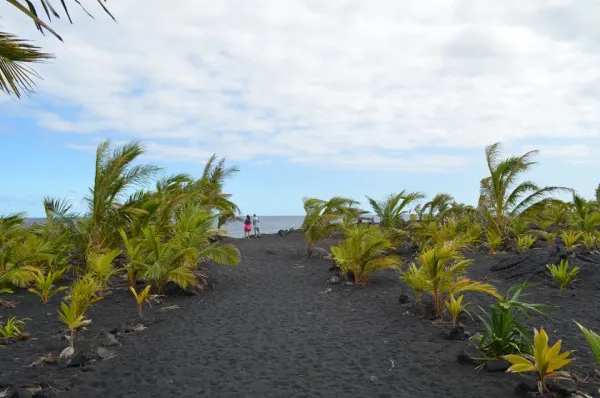
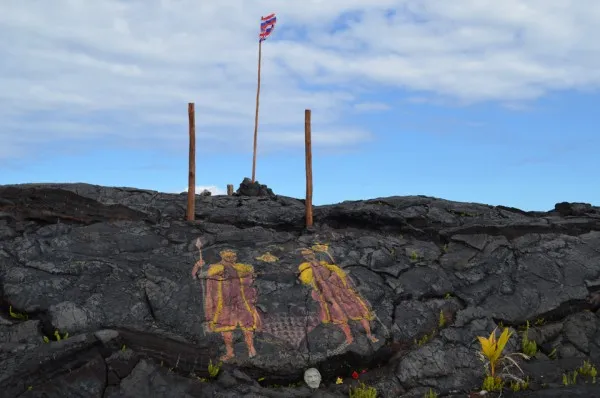
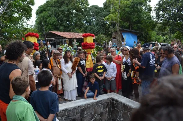
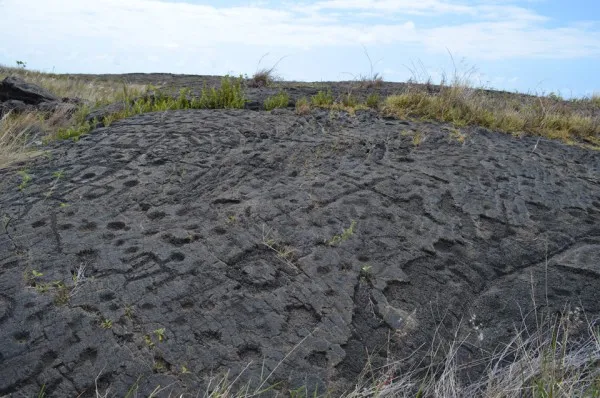
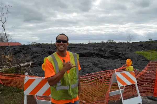
On Hawaii, lava is a way of life. The whole island is made of the stuff. Eruptions from Kilauea volcano have been adding new land and wiping out old for all of human time, and far before. In recent decades, lava flows have wiped out communities and major roads. The latest eruption, which began in June 2014, now threatens the small town of Pahoa. Most residents see the volcanism as something to accept, and adapt to. For scientists, it is a prime chance to study the causes of eruptions, the physics of lava flows, and how modern society can best cope. (All photos by Kevin Krajick) READ THE FULL SCIENTIFIC STORY or SEE A VIDEO