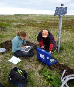
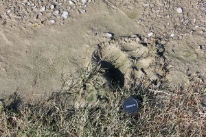
Every field location comes with logistical hurdles, and the Alaska Peninsula is no exception. Weather, wildlife and modes of transport pose the greatest challenges. We are hardly the first scientists to encounter these: Lamont-Doherty Earth Observatory has a long, rich history of collecting seismic data in this region (e.g., Shumagin Seismic Network, which ran for >20 years), and many groups continue to collect geophysical data here today.
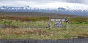
The Alaska Peninsula is too rugged and wild for a network of roads, so planes, helicopters or boats are the only transportation options. We opted for planes, which immediately imposed a restriction on the locations of our seismic stations: they must be near airstrips. Happily, the Peninsula is sprinkled with small communities and lodges with airstrips, most of which lie close to the Pacific or Bering coasts rather than in the remote interior. Back in the office before our deployment, we chose the most ideally located airstrips for our stations and connected the dots between them with the most efficient possible flight plans. But, our plans quickly changed once we were in the field. The weather dictates when and where you can fly each day, and it varies dramatically. We have been lucky enough to have several clear days (even saw some blue skies and sunshine!), but other days we have been grounded by weather and wiled away the time indoors at the inn in Nelson Lagoon.


