Clouding our Image
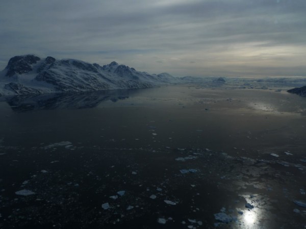
Even in idyllic Greenland some days start to feel like the movie “Groundhog Day”, however the turn of events today broke that thread. Over our two weeks in Kangerlussuaq we have ended our evenings with a science and weather report, and the hope of flying the program over both coasts. Each morning we wake up,… read more
Even in idyllic Greenland some days start to feel like the movie “Groundhog Day”, however the turn of events today broke that thread. Over our two weeks in Kangerlussuaq we have ended our evenings with a science and weather report, and the hope of flying the program over both coasts. Each morning we wake up, head to the plane and look to see what the weather has dealt us. So far with incredible consistency clouds have dictated a series of flights on the east coast of Greenland. Today started exactly the same with clouds on the west coast driving a plan to fly the centerlines of several large southeast glaciers – Helheim, Kangerdlugssuaq, and Midgard.
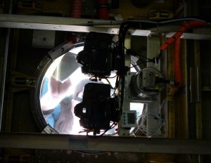
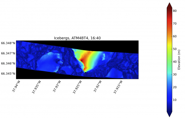
But today would not be like every other. We lifted into the air and immediately loud rattling emerged from under the plane. The belly of the P3 has been outfitted for science equipment and directly in the line of the rattle lie a series of elevation survey instruments – two Airborne Topographic Mapper (ATM) lasers, that send and receive a steady series of laser pulses, and two Digital Mapping System (DMS) cameras, that take high resolution surface images every 1.2 seconds. Both of these instruments are used to develop elevation maps of the area surveyed.
Three floor plates were quickly removed and a member of the aircrew is tethered for safety and dropped below. Looking down I could see straight through to the land and a surface dotted with small melt ponds. It seems you could put your hand straight through the bottom of the plane, but there is a surface – clear glass in two portholes and clear acrylic in the third. Each morning I have watched the ATM and DMS teams carefully clean these lenses to the outside world.
After a quick review of the situation the decision is to return to the airstrip and attempt a repair, but first we must lighten the plane. Physics tells us that a fully fueled plane ready for a day of science work is not safe to land. Working with the air tower a place is selected to drop some fuel, we rise in elevation to minimize the impact of the drop, and then we are ready to cycle back to the base for a quick check.
The windows below the ATM and DMS are checked. They must be perfectly clear and there is spatter to be wiped away. A safety inspection and refueling puts us back on the runway taxiing in just over an hour. A warning light appears as we taxi and we aborted again. This time it is a quick fix and we are off and flying within thirty minutes – all in all a 2.5 hour delay which requires an amended mission. Helheim-Kangerdlugssuaq-The Sequel!
We will fly over water and glacial ice today giving both ATMs a work out. The primary system has a wider swath (700-800 ft.) working best over glacial ice. The secondary system has a narrower swath width with a smaller angle of incidence, the preferred system for sea ice. Sea ice has a mix of open water leads and thin sheets of ice making it difficult for the primary system to collect wide-angle measurements over both the ice and open water leads.
As we begin the flight the secondary ATM needs adjustment. The laser pulse is sent out through a series of mirrors and collected back through a telescope that needs to be able to ‘see’ the laser return to measure the surface elevation. Once again the floor panel comes up, but the adjustment is a quick fix. The cold weather can be one cause of this drifting.
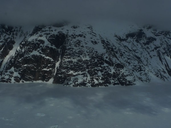
As we reach the coastline it becomes apparent there is sea fog and wispy clouds laying low over the glacier and waterfront. The trouble with clouds or fog is they will block out both lasers unless we can get under them. In some places we can fly beneath the clouds, but in other areas it is not possible so we will lose some of the ATM data. It can’t be helped. Sea fog is extremely difficult to pick up on the synoptic charts used to assess the weather each day. We are lucky, however, and at the end of the day the ATM team reports 40 gigabytes of data collected. Little was lost to the clouds and fog.
Tomorrow we will need to wait and see if the cycle is broken, sending us to the west coast.
