A 30 year history of measuring Greenland’s Breathtaking Vistas

We flew our last science flight out of Kangerlussuaq Base (western Greenland) over the Geikie Peninsula, on the east coast of Greenland. This high priority mission had not been completed prior to this because of difficult weather in the peninsula area. The mission focus was to determine how the surface ice elevation and ice thickness… read more

By
Jim Cochran
April 28, 2011
DSC 5646 Geikie Plateau studinger small 300x200.jpg
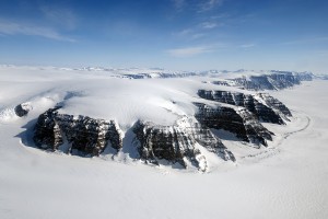
The Geikie Plateau on Greenland’s Eastern Coast (photo copyright M. Studinger, NASA)

We flew our last science flight out of Kangerlussuaq Base (western Greenland) over the Geikie Peninsula, on the east coast of Greenland. This high priority mission had not been completed prior to this because of difficult weather in the peninsula area. The mission focus was to determine how the surface ice elevation and ice thickness have changed, as well as the capture the any existence and rate of glacier retreat. Gathering measurements focused on understanding how and why ice on Greenland and Antarctica is changing over time is the primary mission of IceBridge.  In order to collect these measurements we often in refly lines that were flown in previous years in order to measure change.  Today we reflew a main grid of lines over the ice cap on the Geikie Peninsula and then additional lines along a number of glaciers. The flood basalts of the Geikie Plateau are breathtaking.

DSC 5652 Geikie Plateau studinger small 600x401.jpg
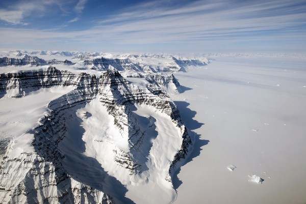
Geikie Plateau with its prominent layered basalts (photo copyright M. Studinger, NASA)

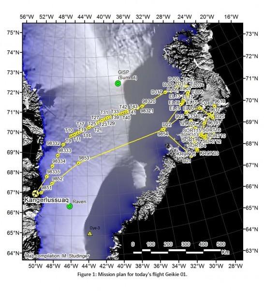
Returning from the Geikie Peninsula, we flew along a track that was been remapped regularly for 30 years and gives a long history of how the ice in the center of the ice cap is changing.  The flights along the glaciers were especially scenic and the few windows on the P3 were full of people taking photos.

GeikieFLight1 546x600.jpg
Geikie 8 hour mission design (NASA)

Runs along glaciers are always popular for that reason, particularly on the east coast where the fjords cut through high coastal mountains that extend well above the level at which the plane is flying.  However, the glacial valleys and fjords can also be quite windy.  On one flight, we encountered 70 knot winds and intense turbulence that sent everything that wasn’t held down, from laptops to coffee pots flying across the plane.  We spent most of that line buckled on our seats rather than taking pictures out the window.

YungelIMG 1031 300x300.jpg
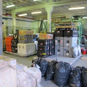
Gear stacked on pallets ready for the move (both pallets ultimately fill with gear!) (photo from J. Yungel, NASA)

Once more it is time to change locations, we are packing up to fly back to Thule, where we will finish out the campaign.  Packing involves more than just packing personal gear.  One of the gravity/magnetics team’s major projects will be taking apart the GPS and magnetics base stations, packing them in shipping cases and putting them on pallets. The Air National Guard will then load them onto their C130 cargo planes and transport them up to Thule.  The GPS ground stations are key to our measurements.  Having a receiver at a stationary location provides a baseline for the noise or jitter in the measurements, which we then remove from measurements taken on the plane.  This is especially important for the gravity team, because we need to use the GPS measurements to determine and remove airplane accelerations from our gravity measurements. The same idea applies to the magnetics measurements, as the Earth’s magnetic field is constantly varying and we want to remove that natural variation to isolate any anomaly resulting from the rocks we are flying over.  Once in Thule we will quickly get the stations reinstalled so that they have 24 hours to settle prior to our first flight.