Mapping Offshore Faults in Kingston Bay
Motion along these faults is associated with the 1907 Kingston earthquake, which shook the capital of the island with a magnitude of 6.2
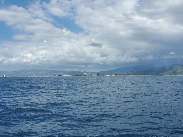
From January 13 to 15, we transited from the Jamaica Passage to Kingston Bay to map offshore structures near the land. Motion along these faults is thought to be associated with the 1907 Kingston earthquake, which shook the capital of the island with a magnitude of 6.2.
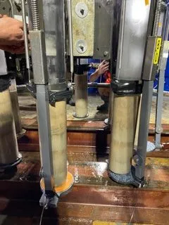
The multicorer recovered sediment layers called “event deposits.” These layers are noted by their chocolate brown color. The sediment layers will be dated and analyzed for their chemical composition and physical properties. The goal is to understand the processes that triggered their deposition: Was it an earthquake? Was it a hurricane?
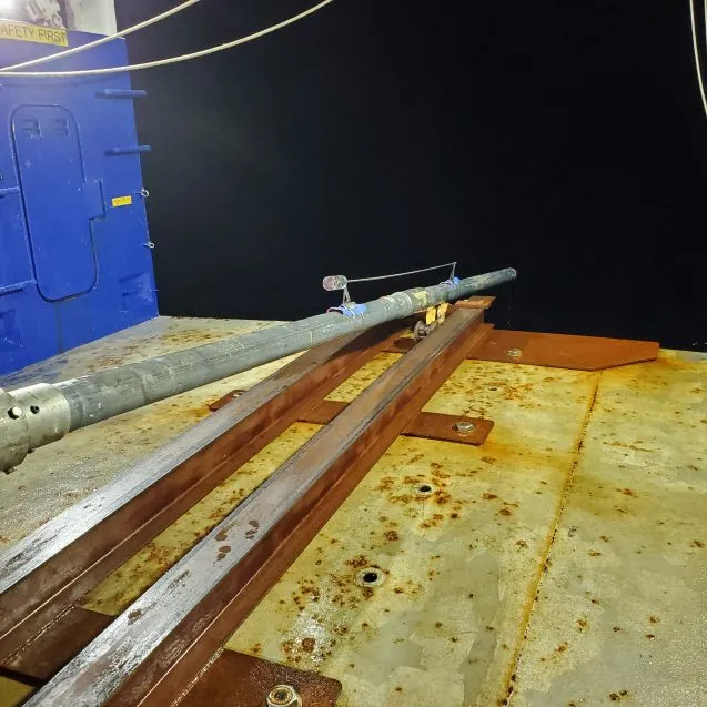
On the gravity corer pipe is a probe that measures heat flow. It penetrates the sediments and measures heat flow variability associated with friction along the fault zone, providing us with information about the area’s earthquake potential.