Delays in Dhaka
I am back in Bangladesh for a new project examining the balance between sea level rise, land subsidence and sedimentation. We will be installing, repairing or upgrading equipment to measure changes to the landscape.
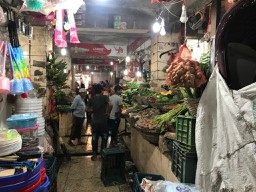
I am back in Bangladesh for a new project that has taken a long time to come to fruition. Consistent with the almost seven years since the project was first discussed, our equipment was stuck in customs, and so we were delayed for starting our fieldwork. Still, it is a great project and it is good to be back here.
Around the world, all deltas are sinking as the sediments that compose them compact. This exacerbates the problem of sea level rise, but is compensated for by the fresh sediment that fills the space. This project, part of a large World Bank funded project to rebuild the embankments that protect the coastal areas of Bangladesh, will measure the subsidence of the land, the sedimentation rate, and the shifting of the rivers in order to better design new embankments.
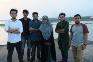
During this trip, we will be installing precision GPS to measure the subsidence together with SET (surface elevation tables) and MH (marker horizons) to measure elevation changes and sedimentation rates. In addition, Chris Small with be collecting sediment samples and making observations of vegetation.
Our team consists of 13 people. From the U.S. are Carol Wilson from Louisiana State University, John Galezka from UNAVCO and Chris and myself from the Lamont-Doherty Earth Observatory of Columbia University. We have been joined by six students from Dhaka University, including two I worked with last year. We also have two people from IWM, the Bangladesh Institute of Water Modeling, one of whom brought his son, a college student at Swarthmore.
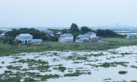
We will be visiting 10 sites in southwest Bangladesh to install new equipment, repair or upgrade existing equipment, or make measurements. Our first site is on the edge of the Sundarbans, the world’s largest mangrove forest, home to hundreds of Bengal tigers.
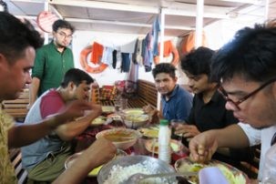
To get around for the first part of the trip, we will be traveling by boat on the M/L Bawali. But first we have to get all the people and equipment there. With the equipment stuck in customs and already a day behind schedule, most of us loaded into two vans with the equipment we hand-carried, had manufactured here, or had stored at Dhaka University. John, Salam and his son Barkat stayed behind to wait for the rest. It felt like the break up of the Fellowship of the Ring, but at least we can get the fieldwork started.
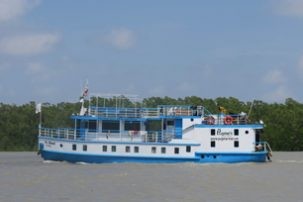
Despite the reduced number of ferries crossing the Padma, as the combined Ganges and Brahmaputra River is called, due to the strong currents, the two vans managed to quickly get on a ferry. Not so for the equipment truck. Nine hours after leaving Dhaka University, we arrived at the boat, planning to head to the field area as soon as the truck arrived. After dinner at 11:30 pm, we went to bed to wait for the truck to arrive. It didn’t come until 5:30 am when we hoped have already arrived at the first site. It wasn’t until 9:30 that we could finally disembark onto land to start scouting for a site.
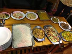
Meanwhile, back in Dhaka, our shipment was finally released and it and the three others final hit the road at 9:00pm. Unfortunately, word of the ferry problems at Mawa had spread, so they had a five-hour wait to get on the ferry at Aricha. John texted “it was the craziest free for all I’ve ever seen in Asia.” After the crossing and breakfast, we continued to drive as close as to our field site as roads would allow.
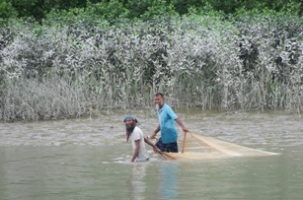
Despite all of the travel headaches, things started looking up once we got to the field. I picked primary schools from maps as potential GPS sites. We had great success using primary schools last year. They would be the only reinforced concrete buildings in the area.Chris’s maps showed which areas were eroding and which were growing with new sediment. Together we picked an appropriate location and disembarked at the nearest ghat (dock) we could find.
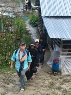
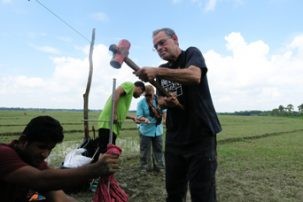
We were met by children on the docks and they quickly led us to their school. The Sonatola primary school looked excellent and we quickly got permission to install the GPS there. After talking to a number of people, we found a location nearby for the second GPS and the SET in a field belonging to a school council member, Bachchu. He even let us put the box with the GPS receiver and solar panel in his fenced-in garden. This was great as the SET and especially the GPS will permanently take some of the field from cultivation. Carol’s team went about setting up for pounding in the rod for the SET. The four-foot segments of the rod screw together and get pounded into the ground until refusal or 80 feet.
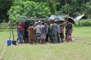
Since the gasoline-powered driver was in the shipment with John, a sledgehammer would have to do. Samiul went off with Chris to ground truth the remote sensing observations and collect sediment samples of all the different types of soils. For the GPS, there was not much we could do except measure the distance from the box to the field as the antenna cable is 30 meters long. The GPS and most of the equipment to install them were with John.
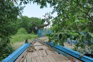
Finally, in the afternoon, we received word that they were almost at the meeting point. Sanju and I returned to the Bawali to pick them up. We met them at 3:10 pm, over 16 hours since they started from Dhaka. We sailed the exhausted group back to a hard-to-find ghat (dock) that was closer to the sites and brought Carol’s team the power hammer while we took GPS equipment to the school.
At last our entire team was in place and getting our work done. The remaining question was could we still get everything done in our time here after the initial delays. Luckily Bangladeshi are extremely resourceful and we were optimistic that we could find a way to get it all done with one less day on the boat.
