Across the Ganges to Southwest Bangladesh and the Sundarbans
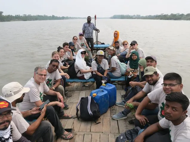
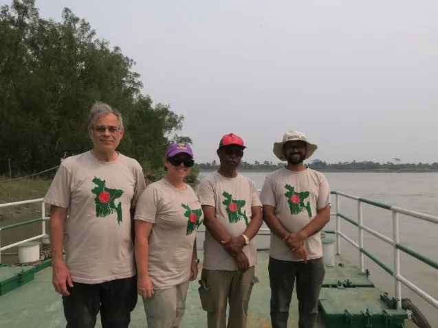
Our group of 23 American and Bangladeshi students and professors traveled from the Jamuna River to the Ganges and Gorai Rivers, and then down to an island on the edge of the Sundarbans, the world’s largest mangrove forest.
The next morning our group of 23 American and Bangladeshi students and professors crossed the Jamuna River, as the Brahmaputra is known here, to the Sirajganj Hard Point. This concrete embankment was built to protect the city of Sirajganj from the slow westward migration of the river. Because it now sticks out into the river, they have been extending the land to the north and south to even out the bank. The Hard Point also provided a great view across the Jamuna.

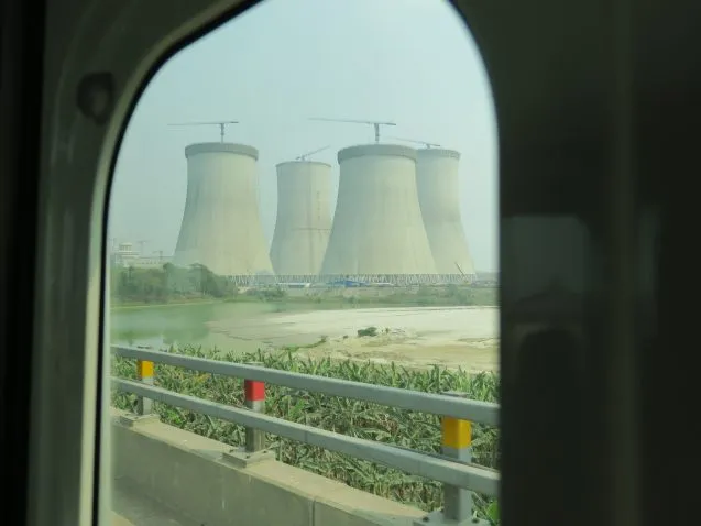
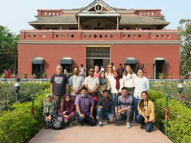
We then headed west for the long drive to the Lalon Shah Bridge across the Ganges River, passing the nuclear power plant that is under construction. On the other side we headed to Kushtia, where the Gorai River branches off from the Ganges. Arriving in the afternoon, we headed straight to Shilaidaha Kuthibari, the home of Rabindranath Tagore winner of the 1913 Nobel Prize for Literature. His poems supply the words to the national anthems of both Bangladesh and India.
The Gorai River, a major supplier of fresh water to southwestern Bangladesh, has been silting up. People argue as to whether it is due to the Farrakka Barrage in India diverting water, natural river evolution, or climate change. From an embankment near our hotel, we could see much of the river covered with sand and dredgers for keeping the channel clear.
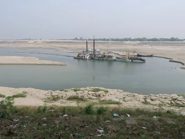
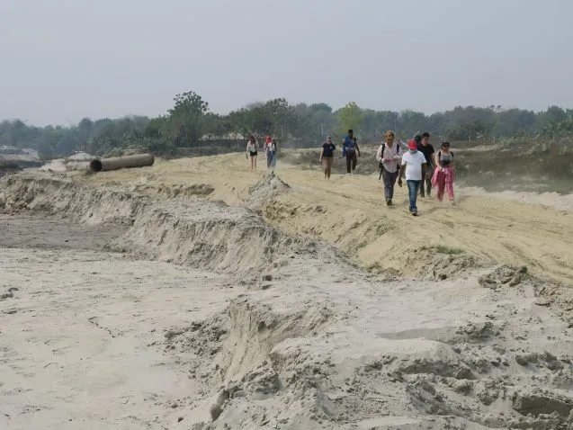
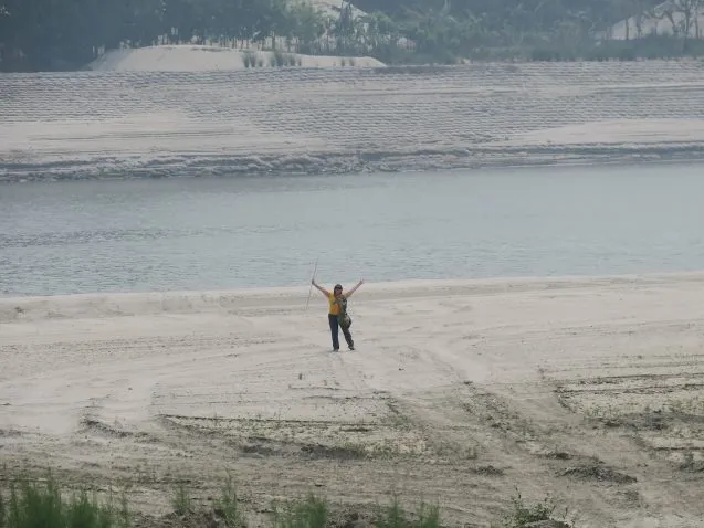
We headed closer to where the Gorai meets the Ganges. Here the sediment has shifted the bank by 1.5 km, narrowing the once wide offtake. While our interview team, talking to people about environmental change and migration, stayed to speak to people living in the first village constructed outside the original embankment, the rest of us walked across the sands to the river and then north to the Ganges along a newer embankment. We found dredgers filling in the land behind the new embankment with dredge spoils, banana orchards and visited a brick factory, all on land that used to be the Gorai River.
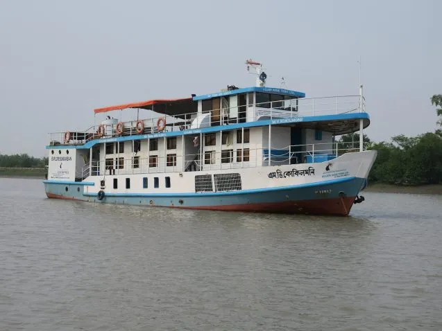
After collecting everyone, we stopped for a late lunch at our hotel and began the long drive to Khulna. After darkness fell, our speed slowed so that we didn’t get to the ghat (dock) until after 8pm. The wooden country boat transported us to our home for the rest of the trip, the M/V Kokilmoni. I have been on this 85-foot Sundarban tourist boat multiple times. For a lot of SW Bangladesh and all of the Sundarban Mangrove Forest, boats are the easiest way to get around.
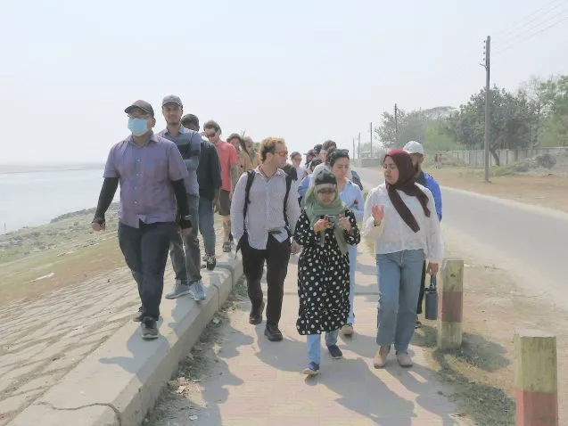
Our first stop is Sreenagar on Polder 32, an embanked island that was flooded for two years following Cyclone Aila in 2009. The island has saline groundwater, so people can only grow one rice crop a year planting during the monsoon. We sailed partway there during the night so we could arrive in the morning. A new bridge built recently is too low for the Kokilmoni to pass under, so we stopped before it and used the country boat for the last mile to Sreenagar.
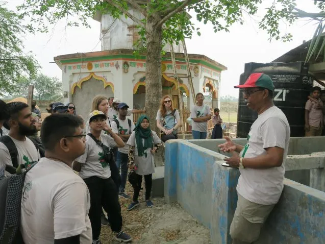
Carol Wilson showed us her RSET instrumentation that measures elevation change and sedimentation. Kazi Matin Ahmed showed us a now unused managed aquifer recharge system that stores monsoon water underground to improve availability during the dry season. The lack of fresh water during the dry season is a major issue here. I spoke about my GPS, on another part of the island, for measuring land subsidence.
After their presentations, we broke into three groups. The now experienced migration interview team was one. A second group is studying landscape change from remote sensing, particularly the increasing tree cover farther east. They will be conducting interviews to understand the changes seen by the satellites over the years. The remainder, a group studying flooding in NE Bangaldesh using remote sensing, stayed with me and the other professors.

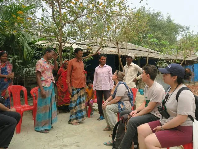
We met the family hosting Carol’s equipment and they immediately gave us coconut water and tamarind despite our protests. Masud and Carol then demonstrated how the RSET measurements are made at one of her sites. Their measurements are confirming that the land inside the embankment, receiving neither monsoon floodwater nor the sediment it carries in sinking. Meanwhile the water level, and the land open to the river, are rising. The 1-1.5 meter difference in elevation is what caused the 2009 disaster as the interior of the polder flooded every high tide. And the problem is continuing to get worse. The polders initially improved agriculture, but the unexpected subsidence is a challenge to their sustainability. It has forced some areas to switch to shrimp farming instead of rice growing.
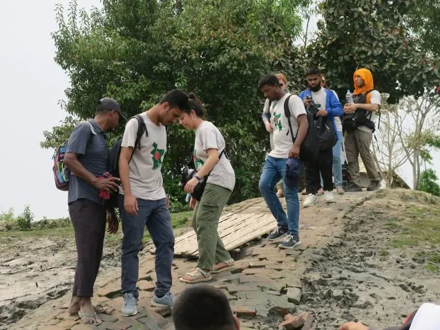
We walked back to the embankment road and continued along the island by foot, by autorickshaw and our country boat, with the two interview teams joining us along the way. We went to the site of a large-scale industrial shrimp farm over half a kilometer across. One of the interviewees that spoke to our students spoke of being forced off of her land, probably by the shrimp farm. Perhaps they only leased their land rather than actually owning it.
We then all headed back to the Kokilmoni for a 3 o’clock lunch and set sail for the Sundarbans, stopping for at the beginning of the Sundarbans to pick up an armed guard for the tigers. We had a barbecue on the boat at the edge of the Sundarbans, before sailing to our next stop during the night.
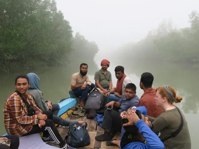
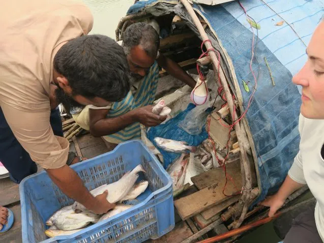
Before dawn, we all arose for a silent boat ride up a tidal channel in the middle of the forest. This channel used to be a meander loop in the river we are traveling, but the river cut it off. Most of the loop has filled in with sediments and plants, so only a small creek remains. We traveled in then cut the engine and continued by oar alone to hope to see wildlife in the early morning. Unfortunately, it was a very foggy morning, so our sitings were few. Still, we got to experience the forest close up. On the way back to the Kokilmoni, the crew bought fish from a local fisherman. As we ate breakfast, the Kokilmoni started heading south to Katka on the shore of the Bay of Bengal.