Into the Sundarban Mangrove Forest and Back
For the last week of our trip, we traveled by boat to reach the sites where we are measuring subsidence in the Sundarban Mangrove Forest and nearby embanked islands.
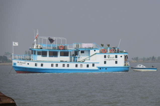
In the evening, we headed to the ghat (dock) around 8 pm. It was as hectic as usual, with many people coming and going from ferries and private boats, stands hawking food, and lots of honking vehicles. Bachchu, the boat owner, led us to the right place on the ghat. The wooden country boat of M/V Bawali, our home for the next week, arrived and helped the previous travelers off. Then the crew quickly helped load all our gear and luggage onto the wooden boat. Once we were settled, they crossed the channel to where the Bawali awaited us.
The Bawali, which means wood cutters, is a 60-foot long Sundarban tourist boat with six cabins, one for each of us. We were originally to join her in the morning. To make up time for the delay, she cruised overnight so that we can reach our first stop by morning. We got on board, settled in and had dinner, a buffet of multiple delicious dishes as usual. Still, it was several hours before we got underway. After the long drives of the last days, this will be a much more relaxing, although slower, way to travel. We spent the evening chatting and swapping stories before turning in. We were still in the Pusur River heading south toward the world’s largest mangrove forest.
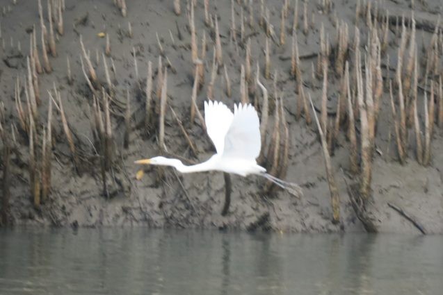
When I awoke the next morning, we were deep within the forest, arriving to our goal after breakfast. Katka is a much visited tourist site in the Sundarbans and we saw a number of other boats. However, we were going to an RSET site inside the forest. I do not have a GNSS site here, so this was my opportunity to see the RSET measurements being done. As always, we were accompanied by two armed guards to protect against tigers, occasionally yelping to scare them off.
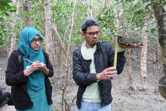
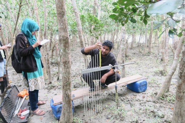
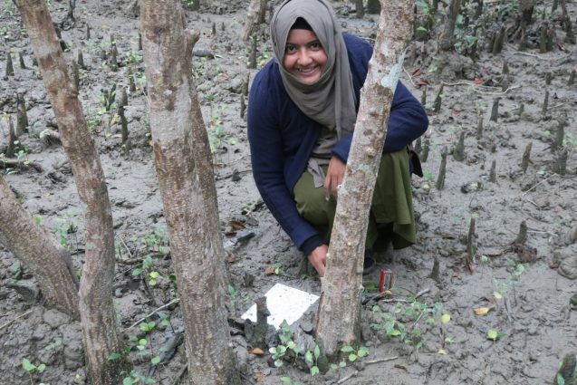
With Pinky and Masud in charge, and Ira, Sanju and out two boatmen assisting, it went relatively quickly. Masud and Ira added the measurement arm to the monument and made the 72 measurements of the elevation around it. Meanwhile, Pinky and Sanju located the sedimentation tiles and measured the thickness of the deposits. The difference between the change in elevation and the sedimentation will yield the shallow subsidence above the base of the rod. Both sites were done by 11:30 am.
Since the weather turned rainy, we missed the opportunity to go for a walk on the beach, and started off for our next destination. The boat sailed out of the river into the Bay of Bengal and into the next channel to head back west towards Hiron Point. Around sunset we passed the spot known as Kokilmoni and hove to near Tinkona Island.
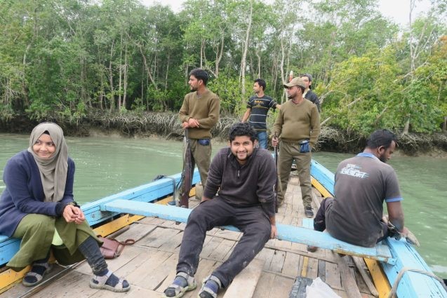
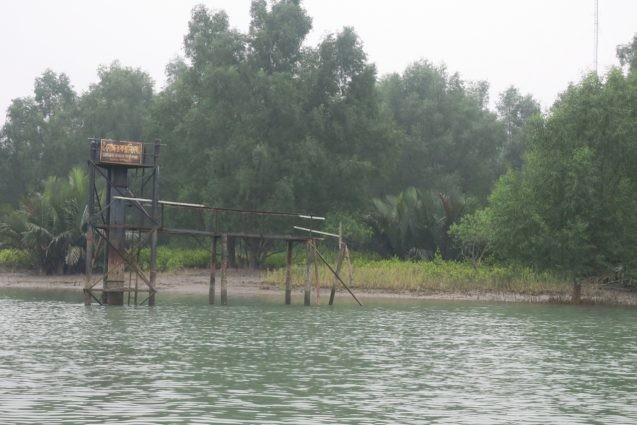
We waited until the next morning to cross the 10-km-wide channel to Hiron Point. The Bawali waited outside the channel while we took the country boat in. The walkway to the tide gauge has broken since our last visit, so we will not visit it this time.
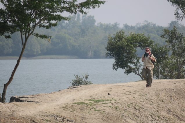
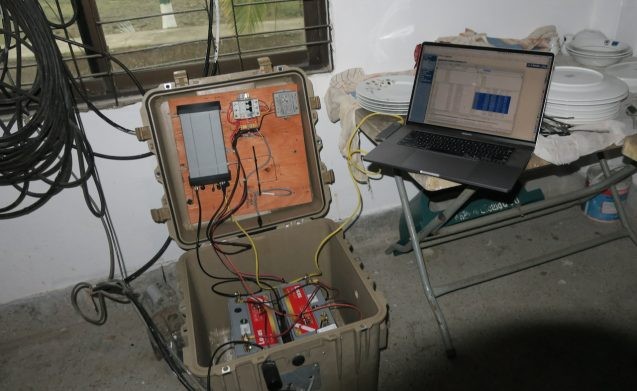
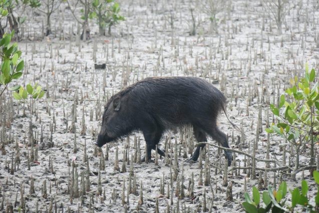
Instead, we went to the forest ranger station and started work on our GNSS. As usual, the batteries were bad and we changed them. They lasted until the end of October until they started failing. We also brought a modem now that Hiron Point has phone service and successfully got it online for the first time since it was installed in 2012. When we finished, two wild boars were wandering around the grounds.
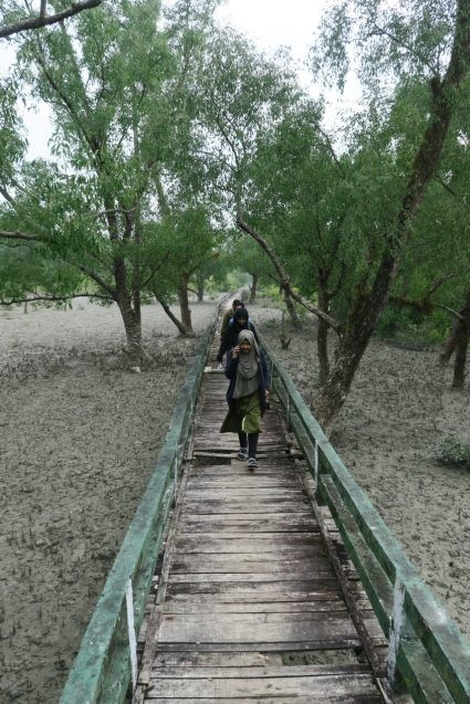
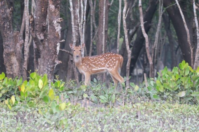
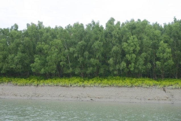
When we finished, we took the country boat across the river to the RSET team, who were finishing up. We all then took the elevated forest walkway to the observation tower about a kilometer into the forest. The wooden slats are in bad shape and many are broken. We all carefully walked over the concrete frame, easily located by the nail heads. It was a beautiful walk through the forest, with a few deer along the way.
After returning to the country boat, I was surprised that we sailed upriver. When we continued that way, I learned that we were going through the maze of channels to the next main channel to the north. Along our 1.5- to 2-hour boat ride, we saw lots of deer, a few monkeys and a crocodile. Near the end, we harvested the fruit of a golpata tree (Nipa palm), and hacking it open with a machete, we got to try its fruit. We rejoined the Bawali just in time for our usual 2:30 lunch and headed to the next site.
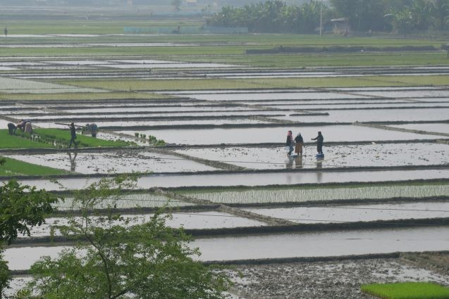
The first part of the ride was through a narrower channel, which let us watch lots of deer in the woods. After a couple of hours, we entered a larger river a kilometer wide and headed north to our next destination. We stopped for the night and arrived at Jorshing in the morning. Pinky, Masud and Ira went to the RSET, Chris went to photograph the vegetation, and Sanju and I went to the school with the GNSS. After finishing, the RSET team headed to their second site outside the polder. Sanju and I went to find Chris and then took the speedboat to the RSET among the mangroves.
When done, we started the transit to our last site. During the journey, we spotted monkeys in the Sundarbans and freshwater dolphins in the large Shibsa River. We first headed to our GNSS site in the northwest corner of Polder 32, then to the RSETs on the south side. Our last GNSS to service on this trip is also in a primary school. We walked the half mile to the sites and set to work, with Pinky and Ira along to see the GNSS site. This last site also went well and we headed back to the Bawali feeling satisfied after tea with the headmaster.
We have now visited all of our southern coastal sites measuring subsidence of the delta. All are online and transmitting data back to the U.S., although one is having trouble locking satellites. I may have to visit it during my next trip here in March. The RSET team still have eight sites to visit over the next two days at Sorbhatkhali on the south side of Polder 32. Four are in the Sundarbans and four are within the polder.
Chris and I, however, are heading home. First, we will meet the smaller M/V Mowali (Sundarbans honey collectors) to take us back to Khulna. Then, the next day we travel back to Dhaka and finally catch our flight back to New York, after the required COVID test.
My GNSS network is working once again, collecting data to better determine the tectonics of the subduction zone in northeast Bangladesh and the subsidence of the delta in the southeast. Together they will refine our estimates of the hazards from a potential large earthquake in eastern Bangladesh, and from sea level rise and climate change in southwestern Bangladesh. My meetings in Dhaka between the two service runs will help establish new projects for continuing our research here. It has been a successful trip and I am ready to return home.